


After breaking down the reasons why left turns are so dangerous, it's also obvious how difficult a problem they are to solve.
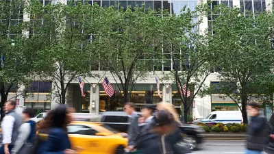
"One of the most challenging maneuvers for a driver to make — a left turn — is also one of its most dangerous for pedestrians," according to an article by Kate Hinds.
Hinds opens the story with an anecdote from New York about a pedestrian getting struck by a car turning left. The collision occurred despite the police report's claim that "All traffic devices were obeyed."
The legality of the situation is only one of the problems with the left turn, according to Hinds. Another big problem is the decision making stress it puts on drivers.
"Anne McCartt, senior vice president for research at the Insurance Institute for Highway Safety, says left turns are tricky because drivers must make a complex series of judgments in a short period of time. Is the light about to turn? Are all the oncoming lanes clear? And why is the guy behind me honking?"
Hinds notes that there is even a term for that "split-second decision-making workout." It's called the driver workload. The bigger the workload, the more likely a mistake.
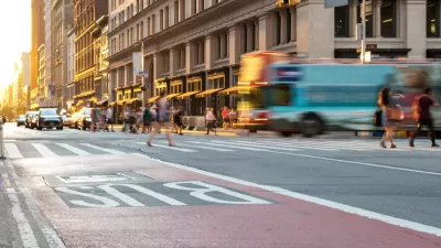
But wait, there's more. Hinds also details how changes to the structure of cars in the United States, which contribute to blind spots that occur right where pedestrians are often located.
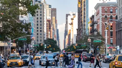
The article concludes with discussion about the steps New York City is taking to improve crosswalk and left turn safety, though it remains a difficult and troubling challenge.
FULL STORY: Why Left Turns Are So Deadly

NYC Officials Split on Jaywalking Decriminalization
While some council members say the ‘outdated’ practice disproportionately impacts Black and Latino residents, law enforcement officials say its a necessary measure for road safety.
NYC’s Vision Zero Program Saved $90 Million in Medicaid Costs
While traffic fatalities remain far above zero, the city saw fewer injuries compared to areas without Vision Zero initiatives.
New York’s Deadliest Neighborhoods for Pedestrians
Pedestrian deaths rose last year, but remain below pre-2020 levels.

Planetizen Federal Action Tracker
A weekly monitor of how Trump’s orders and actions are impacting planners and planning in America.

Restaurant Patios Were a Pandemic Win — Why Were They so Hard to Keep?
Social distancing requirements and changes in travel patterns prompted cities to pilot new uses for street and sidewalk space. Then it got complicated.

Map: Where Senate Republicans Want to Sell Your Public Lands
For public land advocates, the Senate Republicans’ proposal to sell millions of acres of public land in the West is “the biggest fight of their careers.”

Maui's Vacation Rental Debate Turns Ugly
Verbal attacks, misinformation campaigns and fistfights plague a high-stakes debate to convert thousands of vacation rentals into long-term housing.

San Francisco Suspends Traffic Calming Amidst Record Deaths
Citing “a challenging fiscal landscape,” the city will cease the program on the heels of 42 traffic deaths, including 24 pedestrians.

California Homeless Arrests, Citations Spike After Ruling
An investigation reveals that anti-homeless actions increased up to 500% after Grants Pass v. Johnson — even in cities claiming no policy change.
Urban Design for Planners 1: Software Tools
This six-course series explores essential urban design concepts using open source software and equips planners with the tools they need to participate fully in the urban design process.
Planning for Universal Design
Learn the tools for implementing Universal Design in planning regulations.
Heyer Gruel & Associates PA
JM Goldson LLC
Custer County Colorado
City of Camden Redevelopment Agency
City of Astoria
Transportation Research & Education Center (TREC) at Portland State University
Camden Redevelopment Agency
City of Claremont
Municipality of Princeton (NJ)