Pedestrian deaths rose last year, but remain below pre-2020 levels.


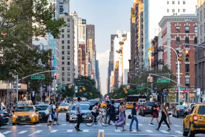
In an article for PIX 11, Emily Rahhal highlights the New York City neighborhoods listed as most dangerous to people on foot by the NYC Crash Mapper.
Borough Park takes the dubious top honor, with six deadly crashes in 2023. “The Upper West Side, East Harlem, Williamsburg, Flushing, Ozone Park, and Woodside, were the next deadliest neighborhoods for pedestrians, each with three fatalities in 2023. Many neighborhoods, like Harlem, Hell’s Kitchen and Soho, had none.” Among the boroughs, Queens had the most pedestrian deaths at 31.
The long-term trends are more encouraging. “Since 2013, pedestrian deaths have dropped by over 40% across New York City, according to the Department of Transportation. Overall, traffic deaths have decreased by over 12%, according to the DOT.”
New York City recently won the right to set its own speed limits, paving the way for lower speed limits that traffic safety advocates say are shown to reduce pedestrian fatalities and injuries thanks to a law dubbed Sammy’s Law, which Governor Hochul included in the FY2025 state budget last week.
FULL STORY: What are NYC’s deadliest neighborhoods for pedestrians?


Chicago Could Join Other Cities in Lowering Speed Limits
Lowering speed limits by just 10 miles per hour can have a major impact on traffic safety.
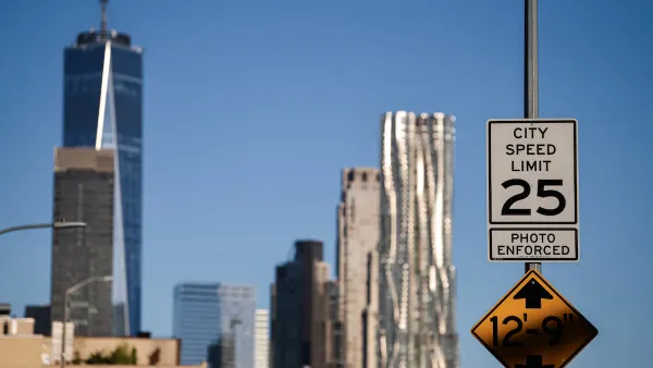
NYC Legislators Continue Fight to Set Own Speed Limits
Advocates say lower speed limits save lives and prevent fatal crashes on busy city streets.
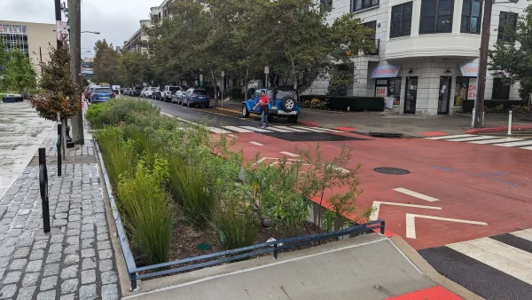
Hoboken's $20 Vision Zero fix
The New Jersey city eliminated traffic deaths for the last nine years in a row.

The state-sanctioned urbicide of Austin
People don’t kill cities. Freeways do.

US to reduce Colorado River water deliveries to Mexico
A new Colorado Treaty amendment reduces Mexico’s Colorado River water allocation by 250,000 acre feet.

New Jersey’s second-largest city bans standalone data centers
Jersey City will continue to allow co-location facilities, such as those meant for research institutions that store their own data.

Amtrak not solely to blame for New Jersey commuter rail's unreliability, report finds
A new study from the Garden State Initiative found that NJ Transit’s budget grew 20% across a 4 year period, but reliability declined significantly over the same period.

EPA erases limits on planet-warming pollution from power plants
Under Monday’s plan, power plants would still have some limits on how much mercury, arsenic and other contaminants they can emit.

Phoenix announces new on-demand transit service, more frequent RAPID buses
Both new services will launch in October, and are part of Phoenix's Project Effective Access Solutions for Easing Congestion.

FREE Course: Walkable City 1: Why Walkability?
After describing his path towards focusing on walkability as the essence of good planning, Jeff Speck marches through his five principal reasons for making more walkable places.
Reinventing Malls: Planning Alchemy—Turning Gray Fields Into Gold
The course focuses on the opportunities and imperatives that shape reinvention of mall sites.

Eagle County Government
Harvard University Graduate School of Design
Nashville Planning Department
The Architects Foundation
University of Cincinnati Online
The Pocatello Development Authority
The Urban Renewal Agency of the City of Pocatello
Journal of the American Planning Association