


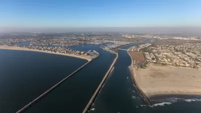
The demolition of the Riverside-Figueroa Bridge spanning the Los Angeles River between Elysian Valley and Cypress Park has commenced. Advocates lament a lost opportunity for open space as well as the car-centric design of the replacement span.
"This past weekend, locals and public-space diehards gathered for a wake on the Riverside-Figueroa Bridge, which spans the LA River from Elysian Valley to Cypress Park," according to Adrian Glick Kudler.
The city began to demolish the bridge this week, despite the best efforts of open space and preservation advocates who wanted to repurpose the bridge: "The bridge is set to be demolished today, per an order made back in 2006. Despite every effort, the old bridge—a patchwork built between 1928 and the 1950s—will not become a High-Line-style linear public plaza, and it won't even be preserved in case the city ever decides the public plaza plan is feasible. (Last week, a judge denied a temporary restraining order that would've kept the bridge in place a little longer.) A replacement next to the old bridge is not quite finished, but has now opened to car traffic."
The post has more of the bridge's history and a photo collection of the bridge—one of those uniquely Los Angeles landmarks that only pre-war construction and the Los Angeles River's concrete banks can produce.
FULL STORY: Saying Goodbye to the Riverside-Figueroa Bridge and Dreams of a High-Line-Style Park


Annual LA River CleanUp Invites Residents to Protect Local Ecosystems
The Friends of the Los Angeles River will host its 34th Annual LA River CleanUp on October 5, inviting residents to help beautify the river, prevent litter from reaching the ocean, and promote equitable access to green spaces.

Revitalizing Sepulveda Basin: A Green Vision for An Urban Oasis
Developed through the input of thousands of community members, this is the first comprehensive plan by the City of Los Angeles for the 2,000-acre basin.
L.A. County Calls for Flood Control Improvements
Recently revealed estimates put far more people in the region at risk for catastrophic flooding than previously thought.

Planetizen Federal Action Tracker
A weekly monitor of how Trump’s orders and actions are impacting planners and planning in America.

Maui's Vacation Rental Debate Turns Ugly
Verbal attacks, misinformation campaigns and fistfights plague a high-stakes debate to convert thousands of vacation rentals into long-term housing.

Restaurant Patios Were a Pandemic Win — Why Were They so Hard to Keep?
Social distancing requirements and changes in travel patterns prompted cities to pilot new uses for street and sidewalk space. Then it got complicated.

In California Battle of Housing vs. Environment, Housing Just Won
A new state law significantly limits the power of CEQA, an environmental review law that served as a powerful tool for blocking new development.

Boulder Eliminates Parking Minimums Citywide
Officials estimate the cost of building a single underground parking space at up to $100,000.

Orange County, Florida Adopts Largest US “Sprawl Repair” Code
The ‘Orange Code’ seeks to rectify decades of sprawl-inducing, car-oriented development.
Urban Design for Planners 1: Software Tools
This six-course series explores essential urban design concepts using open source software and equips planners with the tools they need to participate fully in the urban design process.
Planning for Universal Design
Learn the tools for implementing Universal Design in planning regulations.
Heyer Gruel & Associates PA
JM Goldson LLC
Custer County Colorado
City of Camden Redevelopment Agency
City of Astoria
Transportation Research & Education Center (TREC) at Portland State University
Jefferson Parish Government
Camden Redevelopment Agency
City of Claremont