


Susannah Locke examines some of the data behind the United State’s steady decrease in auto fatalities since a peak in 1969, when 55,043 people died while driving.
Susannah Locke, writing for new website Vox, cites a number of data points (referencing simple charts and graphs) to explain why auto fatalities are “way, way down” (although the numbers did not follow long-term trends in 2012):
- “Data from the US National Highway Traffic Safety Administration shows that deaths from drunk driving dropped by half since the early 1980s. One big factor: in the '80s, many states raised the legal drinking age from 18 to 21.”
- "As of 2012, US seat belt use averages 86 percent."
- "Although the general trend since 1971 has been more and more miles on the road, we've been traveling about 7 percent fewer miles per person since 2005."
FULL STORY: You’re less likely to die in a car crash nowadays — here’s why


Let’s End Traffic Stops
The technology to make traffic enforcement obsolete is becoming available. But in the U.S. willing to use it?
NHTSA Cuts Could Make Roads More Dangerous
The agency is losing almost half of the team that oversees autonomous vehicle safety, among dozens of other key personnel.
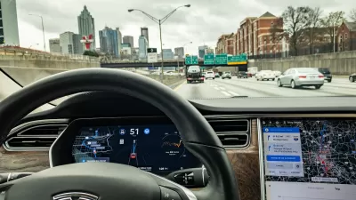
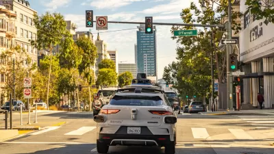
NHTSA Opens Investigation Into Tesla’s Autonomous System
The agency will probe the “Full Self-Driving” system in the wake of crashes that include a pedestrian death.

Maui's Vacation Rental Debate Turns Ugly
Verbal attacks, misinformation campaigns and fistfights plague a high-stakes debate to convert thousands of vacation rentals into long-term housing.

Planetizen Federal Action Tracker
A weekly monitor of how Trump’s orders and actions are impacting planners and planning in America.

San Francisco Suspends Traffic Calming Amidst Record Deaths
Citing “a challenging fiscal landscape,” the city will cease the program on the heels of 42 traffic deaths, including 24 pedestrians.

Half of Post-Fire Altadena Home Sales Were to Corporations
Large investors are quietly buying up dozens of properties in Altadena, California, where a devastating wildfire destroyed more than 6,000 homes in January.

Opinion: What San Francisco’s Proposed ‘Family Zoning’ Could Really Mean
Mayor Lurie is using ‘family zoning’ to encourage denser development and upzoning — but could the concept actually foster community and more human-scale public spaces?

Jacksonville Launches First Autonomous Transit Shuttle in US
A fleet of 14 fully autonomous vehicles will serve a 3.5-mile downtown Jacksonville route with 12 stops.
Urban Design for Planners 1: Software Tools
This six-course series explores essential urban design concepts using open source software and equips planners with the tools they need to participate fully in the urban design process.
Planning for Universal Design
Learn the tools for implementing Universal Design in planning regulations.
Gallatin County Department of Planning & Community Development
Heyer Gruel & Associates PA
JM Goldson LLC
City of Camden Redevelopment Agency
City of Astoria
Transportation Research & Education Center (TREC) at Portland State University
Jefferson Parish Government
Camden Redevelopment Agency
City of Claremont