


In recent months, a massive speed-camera program has been causing quite a stir in the tiny town of Elmwood Place, Ohio.
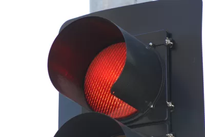
Elmwood Place’s town council installed speed cameras operated by the company Optotraffic to slow down some of the 18,000 commuters traveling through the village each day. The program’s opponents, who claim the town council and Optotraffic are just out to make money, waged a social media campaign and eventually filed a class-action lawsuit against Elmwood Place. This March, a county judge forced the town council to take the speed cameras down.
What is a town like Elmwood Place to do, faced with safety concerns and a decrease in local business revenue thanks to speeding commuters? Sarah Goodyear suggests that a wholesale re-planning of the village’s business district may be in order. After all, while pedestrian-friendly planning doesn’t come cheap, neither do lawsuits. “What we have to ask ourselves is what kind of places we want to pay for with the money we have,” she writes.
FULL STORY: How Speed Cameras Brought One Ohio Village to a Standstill

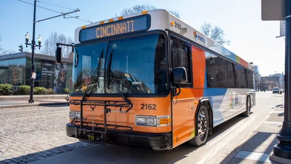
Cincinnati School District Shifts Students to Public Transit to Cut Costs
Over 10,000 Cincinnati Public Schools students already use public buses for school transportation each year.
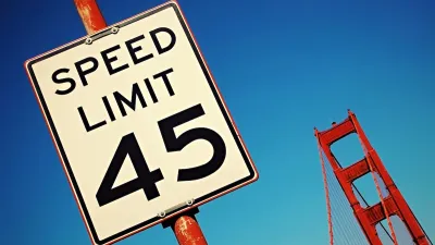
San Francisco Turns On California’s First Speed Cameras
The city is the first in the state to use automated traffic enforcement to reduce speeding and traffic deaths.

Data Shows Chicago Speed Cameras Reduce Speeding, Crashes
Countering claims made by the Chicago Tribune that automated enforcement doesn’t improve safety, Streetsblog Chicago lays out the data showing how traffic safety fared in camera zones.

Planetizen Federal Action Tracker
A weekly monitor of how Trump’s orders and actions are impacting planners and planning in America.

Map: Where Senate Republicans Want to Sell Your Public Lands
For public land advocates, the Senate Republicans’ proposal to sell millions of acres of public land in the West is “the biggest fight of their careers.”

Restaurant Patios Were a Pandemic Win — Why Were They so Hard to Keep?
Social distancing requirements and changes in travel patterns prompted cities to pilot new uses for street and sidewalk space. Then it got complicated.

Platform Pilsner: Vancouver Transit Agency Releases... a Beer?
TransLink will receive a portion of every sale of the four-pack.

Toronto Weighs Cheaper Transit, Parking Hikes for Major Events
Special event rates would take effect during large festivals, sports games and concerts to ‘discourage driving, manage congestion and free up space for transit.”

Berlin to Consider Car-Free Zone Larger Than Manhattan
The area bound by the 22-mile Ringbahn would still allow 12 uses of a private automobile per year per person, and several other exemptions.
Urban Design for Planners 1: Software Tools
This six-course series explores essential urban design concepts using open source software and equips planners with the tools they need to participate fully in the urban design process.
Planning for Universal Design
Learn the tools for implementing Universal Design in planning regulations.
Heyer Gruel & Associates PA
JM Goldson LLC
Custer County Colorado
City of Camden Redevelopment Agency
City of Astoria
Transportation Research & Education Center (TREC) at Portland State University
Camden Redevelopment Agency
City of Claremont
Municipality of Princeton (NJ)