Last week Chicago became the envy of America's urban biking advocates when it opened the city's first two-way protected bike lanes in the heart of the Loop, reports Lori Rotenberk.



Along 12 blocks of Dearborn Street in the heart of the city's central business district, Mayor Rahm Emanuel's and transportation Commissioner Gabe Klein's plan to turn Chicago into the "bike friendliest city in the country" took a giant leap forward last week.
Created at a cost of $450,000, the two-way protected bike lane that was created by removing a car lane features bike traffic signals, signs instructing pedestrians to "look both ways," and a 3-foot wide buffer between the bike lanes and the adjacent parking lane, reports . As Rotenberk explains, "[t]he major goals of the redesign include slowing down the approximately 13,100 vehicles a day that use the 1.15-mile Dearborn corridor and enhancing pedestrian safety, yet also improving traffic flow, said Commissioner Klein, who often bikes to work."
"Michael Amsden, a project manager for the Chicago Department of Transportation (CDOT) Bike Program says swiping a lane from drivers took 'lots of political know-how,' adding that 'no other city has cut through dense traffic' in that manner. While other cities have been putting in bike infrastructure for years, what sets Chicago apart, Amsden says, is the sheer super-speed at which the city has laid down protected bike lanes, going from 'zero to second-most in the country in just 18 months.' City officials hint that converting car lanes into bike lanes is the way of Chicago’s future," writes Rotenberk.
As Angie Schmitt notes at Streetsblog, bike advocates across the country are now looking to the Windy City with admiration and envy. In America's expanding bicycle infrastructure game of one-upmanship, Chicago has just raised the ante.
Read the full story: Chicago likes bikes — and it’s about to prove it in a big way
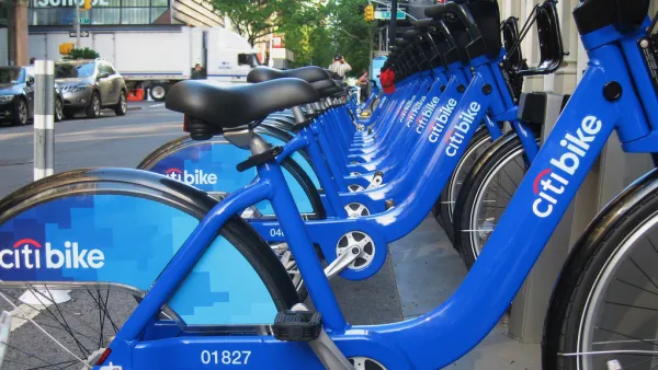
The United States' Top Large City for Biking Is...
Portland (top city in 2012)? Minneapolis (top city in 2010)? No, it's the Big Apple! New York City leaped from #7 in 2012 to the top spot this year for cities with populations of 100,000 or greater.
Double-Checking Chicago's Ambitious Bike Lane Plans
Checking in on the status of Chicago's ambitious plans to add 645 miles of bike lanes by 2020, one journalist finds a number of bikers who are questioning some of the choices made by planners.
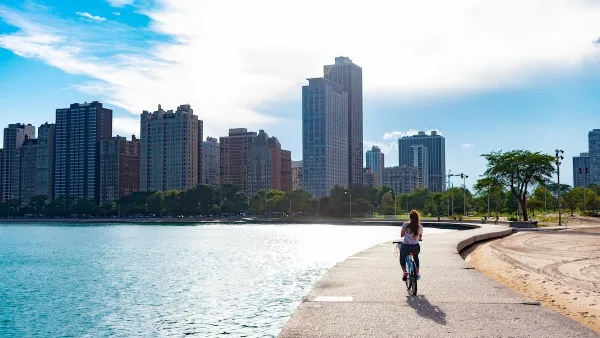
Winter Cyclists Test Out New Chicago Bike Lanes
A new protected bike lane in the Logan Square neighborhood is seeing significant use, even in below-freezing temperatures.

Planetizen Federal Action Tracker
A weekly monitor of how Trump’s orders and actions are impacting planners and planning in America.

Eastern Nebraska is running out of electricity
Data centers and electrification are straining eastern Nebraska’s grid, throttling economic development.
Study reveals best places in the U.S. for cycling, walking
New research from Streetlight Data examines bicycle and pedestrian miles per capita in the 100 largest U.S. cities by population.

DSA members accuse Mamdani of 'abandoning values' over housing redevelopment
New York City's mayor plans to replace about 2,000 units of public housing with private, mixed-income housing.

All sides of BRT debate unhappy with CDOT’s most recent move
The Colorado Department of Transportation is no longer considering center-running bus lanes for Colorado Boulevard.

Massachusetts bogs generate both power, and cranberries
Putting solar panels above farmland is one way Massachusetts is advancing toward its goal of net-zero carbon emissions by 2050.

FREE Course: Walkable City 1: Why Walkability?
After describing his path towards focusing on walkability as the essence of good planning, Jeff Speck marches through his five principal reasons for making more walkable places.
Reinventing Malls: Planning Alchemy—Turning Gray Fields Into Gold
The course focuses on the opportunities and imperatives that shape reinvention of mall sites.

City of Rosemead
Rutgers University, Edward J. Bloustein School of Planning and Public Policy
One Hundred Miles
University of Michigan School for Environment and Sustainability (SEAS)
Hunter College, City University of New York (CUNY)
The Architects Foundation
City of Cambridge
The Pocatello Development Authority
The Urban Renewal Agency of the City of Pocatello