


Hazel Borys concludes her popular photo series on lessons from Canadian urbanism with a look at Ottawa, whose charming historic character is illegal to reproduce today in its more auto-centric outskirts.
"Ottawa celebrates Canada's cultural mosaic, its urbanism full of delight and engagement. As with most North American cities, its oldest neighbourhoods have the positive lessons for urban design today. This is because much of what makes Ottawa character delightful is illegal in the development bylaws that govern its more auto-centric outskirts. On a recent visit, I was inspired by Centretown, The Gleeb, Sandy Hill, Byward Market, Lower Town, New Edinburgh, Rock Cliff, and of course, Parliament Hill."
Borys trains her camera on inspiring examples of farmers markets, canal urbanism, public art, urban fabric, cottage living, inspiring duplexes and mews units, and cycling infrastructure.
"We talk a lot on PlaceShakers about extracting the DNA of place and allowing it by right. Here in Ottawa, much of that is the vertical mixed use, build-to-lines instead of suburban setbacks, streets that have gone on diets to make room for on-street parking and cyclists, and careful thought to how the buildings meet the street. Civic spaces take up centre stage with gracious architecture and ample urbanism."
Thanks to Scott Doyon
FULL STORY: Ottawa: Lessons from great Canadian urbanism


Walkable Winter Cities: Feasibility While Freezing
"It's too cold to walk here" is often the response to the subject of livability in northern climes. Hazel Borys hails from the third coldest city of its size on earth and talks walkable winter cities.
What Canadian Towns Have to Teach us About Great Urbanism
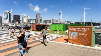
When we think urbanism, we often think cities. But small towns embody many of the elements of walkability that are illegal in most places. This pictorial review offers some palatable insights.
Code Score: A New Aid for Aligning Policy and Vision With Outcomes
A compendium of benefits of walkable urban places, put together by Hazel Borys and Kaid Benfield.

Planetizen Federal Action Tracker
A weekly monitor of how Trump’s orders and actions are impacting planners and planning in America.

Map: Where Senate Republicans Want to Sell Your Public Lands
For public land advocates, the Senate Republicans’ proposal to sell millions of acres of public land in the West is “the biggest fight of their careers.”

Restaurant Patios Were a Pandemic Win — Why Were They so Hard to Keep?
Social distancing requirements and changes in travel patterns prompted cities to pilot new uses for street and sidewalk space. Then it got complicated.

Platform Pilsner: Vancouver Transit Agency Releases... a Beer?
TransLink will receive a portion of every sale of the four-pack.

Toronto Weighs Cheaper Transit, Parking Hikes for Major Events
Special event rates would take effect during large festivals, sports games and concerts to ‘discourage driving, manage congestion and free up space for transit.”

Berlin to Consider Car-Free Zone Larger Than Manhattan
The area bound by the 22-mile Ringbahn would still allow 12 uses of a private automobile per year per person, and several other exemptions.
Urban Design for Planners 1: Software Tools
This six-course series explores essential urban design concepts using open source software and equips planners with the tools they need to participate fully in the urban design process.
Planning for Universal Design
Learn the tools for implementing Universal Design in planning regulations.
Heyer Gruel & Associates PA
JM Goldson LLC
Custer County Colorado
City of Camden Redevelopment Agency
City of Astoria
Transportation Research & Education Center (TREC) at Portland State University
Camden Redevelopment Agency
City of Claremont
Municipality of Princeton (NJ)