


Metro stations, train stations and streetcar systems have distinct ways of showing how to get from one area to another. TheCityFix's Jonna McKone looks at mass transit systems from Mexico City to Paris and the visual representations used in each one.
When you're commuting in an unfamiliar place or using different modes of transit, what do you look for? And what sorts of symbols do transit agencies use to help commuters get where they have to go?
Two key visual methods-representational graphics and icons-serve as visual cues that reinforce direction, location, modes and uses of transit.
A variety of ways to access information are necessary to provide useful service. This could include audible cues, as well as visuals like maps, wayfinding symbols and even branding so people can identify different service providers.
Icons and symbols are universally recognizable and good design ensures such images are located within clear lines of sight. Directional demarcations help residents navigate transit infrastructure, which is often underground, multi-tiered and confusing, particularly for out-of-town travelers. But icons are not just about wayfinding; they also ensure that a people can understand and identify transit regardless of literacy or language, help travelers and commuters switch between transit modes and routes, and enforce or legitimize rules of the road.
Thanks to Garrett Bradford
FULL STORY: Symbolism in the Transit World: Helping You Find Your Way

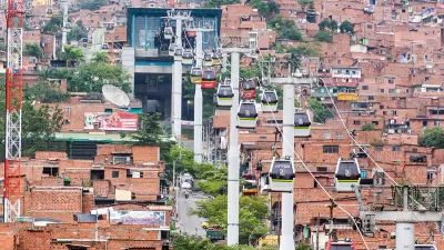
Paris Approves First Aerial Gondola
An aerial tramway project in the French capital cleared feasibility studies and could open in 2025.

Omaha's Transit Agency Plans to Expand, Enhance Service
The plan calls for more frequent service, expanded bus lines, and connectivity between different modes of transit.

Federal Bill Proposes $10 Billion for Transit Accessibility
The program would fund improvements such as elevators, ramps, and accessible ticketing equipment to bring the nation's transit stations up to ADA standards.

Planetizen Federal Action Tracker
A weekly monitor of how Trump’s orders and actions are impacting planners and planning in America.

Map: Where Senate Republicans Want to Sell Your Public Lands
For public land advocates, the Senate Republicans’ proposal to sell millions of acres of public land in the West is “the biggest fight of their careers.”

Restaurant Patios Were a Pandemic Win — Why Were They so Hard to Keep?
Social distancing requirements and changes in travel patterns prompted cities to pilot new uses for street and sidewalk space. Then it got complicated.

Platform Pilsner: Vancouver Transit Agency Releases... a Beer?
TransLink will receive a portion of every sale of the four-pack.

Toronto Weighs Cheaper Transit, Parking Hikes for Major Events
Special event rates would take effect during large festivals, sports games and concerts to ‘discourage driving, manage congestion and free up space for transit.”

Berlin to Consider Car-Free Zone Larger Than Manhattan
The area bound by the 22-mile Ringbahn would still allow 12 uses of a private automobile per year per person, and several other exemptions.
Urban Design for Planners 1: Software Tools
This six-course series explores essential urban design concepts using open source software and equips planners with the tools they need to participate fully in the urban design process.
Planning for Universal Design
Learn the tools for implementing Universal Design in planning regulations.
Heyer Gruel & Associates PA
JM Goldson LLC
Custer County Colorado
City of Camden Redevelopment Agency
City of Astoria
Transportation Research & Education Center (TREC) at Portland State University
Camden Redevelopment Agency
City of Claremont
Municipality of Princeton (NJ)