


The Traffic Monitoring site uses community-collected speed and volume data to reveal traffic patterns on local roads.
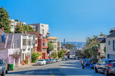
A new online tool compiles data from window-mounted computers that collect traffic data, reports Roger Rudick in Streetsblog San Francisco.
The tool brings together data from individually owned Telraam devices in the San Francisco Bay Area to allow road safety advocates to gain a better understanding of street safety and conditions.
As Rudick explains, “Residents on Lake Street in San Francisco purchased and installed the first Telraam sensors in North America and have sent several requests to SFMTA leadership begging the agency to acknowledge Telraam's data which shows daily vehicle volume and speeds exceeding thresholds set for Lake Street.” The city did not take action, saying it cannot use community-collected data to inform its decisions.
Now, the Traffic Monitoring map offers “a faster and easier way to interact with Telraam’s data so advocates can quickly pull insights from it.” Its creator, Stephen Braitsch, hopes the data will help move the needle on street safety.
FULL STORY: New ‘Traffic Monitoring’ Site Consolidates Data on Car Volumes & Speeds

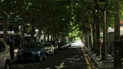
Research: More Complex Streets Are Safer
Streets that offer more perceived obstacles and distractions can force drivers to slow down and drive more carefully.

‘Complete Streets’ Webpage Deleted in Federal Purge
Basic resources and information on building bike lanes and sidewalks, formerly housed on the government’s Complete Streets website, are now gone.
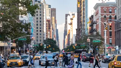
NYC Congestion Pricing May Be Saving Lives
According to preliminary data, crashes and injuries dropped dramatically within the city’s new congestion relief zone.

Planetizen Federal Action Tracker
A weekly monitor of how Trump’s orders and actions are impacting planners and planning in America.

Congressman Proposes Bill to Rename DC Metro “Trump Train”
The Make Autorail Great Again Act would withhold federal funding to the system until the Washington Metropolitan Area Transit Authority (WMATA), rebrands as the Washington Metropolitan Authority for Greater Access (WMAGA).

DARTSpace Platform Streamlines Dallas TOD Application Process
The Dallas transit agency hopes a shorter permitting timeline will boost transit-oriented development around rail stations.

Downtown Los Angeles Gears Up for Growth
A new report highlights Downtown L.A.’s ongoing revival through major housing projects, adaptive reuse, hospitality growth, and preparations for global events in the years ahead.

Supreme Court Landlord Appeal Case Could Overturn Tenant Protections
A legal case claiming that COVID-era eviction moratoriums were unconstitutional could spell trouble for tenant protections.

Texas Moves to Curb Orphan Wells, But Critics Say Loopholes Remain
A proposed state law would shift financial responsibility for sealing unused drilling sites from the public to energy operators, though some advocates question its effectiveness due to industry-backed exemptions.
Urban Design for Planners 1: Software Tools
This six-course series explores essential urban design concepts using open source software and equips planners with the tools they need to participate fully in the urban design process.
Planning for Universal Design
Learn the tools for implementing Universal Design in planning regulations.
Municipality of Princeton
Roanoke Valley-Alleghany Regional Commission
City of Mt Shasta
City of Camden Redevelopment Agency
City of Astoria
Transportation Research & Education Center (TREC) at Portland State University
US High Speed Rail Association
City of Camden Redevelopment Agency
Municipality of Princeton (NJ)