


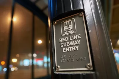
The long-anticipated project that will bring the Chicago Transit Authority rail system into transit deserts on the Southside of Chicago is making substantial progress.
[A December 14 article by Fran Spielman updates this story with the news that the TIF was approved by the city of Chicago.]
“A decadeslong plan to extend the Chicago Transit Authority’s Red Line south to 130th Street passed out of the City Council’s finance committee Monday with only one alderperson rejecting the plan, which will go before the full City Council this week,” reports Claudia Morell for WBEZ.
The project will be financed in part by tax increment financing (TIF), contributing $950 million toward the total price tag of $3.6 billion. The City Council needs to approve the TIF by the end of the year to tap into federal money for the project, according to Morrell. Some alderman are concerned that the state isn’t contributing to the project. Some local residents expressed concern about how the project would affect their property tax bill, according to the article.
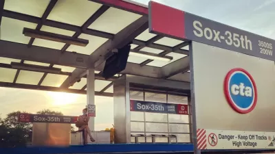
“The 5.6-mile extension would add four new stations near 103rd Street, 111th Street, Michigan Avenue and 130th Street. The rail line would be elevated from 95th Street, where it runs along the highway, and will connect areas such as the Roseland medical center and commercial corridor,” explains of the project.
As noted by Planetizen in September when the project cleared environmental review, the Red Line is expected to be a game changer for neighborhoods long underserved by public transit.
More from Planetizen on the Red Line extension:
- One Big Step Forward, One Small Step Back for Chicago Red Line Extension (December 2020)
- Red Line Extension Plans Released in Chicago (January 2018)
FULL STORY: A plan to expand Chicago’s Red Line south with TIF money passes a key council committee

Chicago’s Red Line Extension Environmental Review Complete
The Red Line Extension on Chicago’s South Side could be a game changer, if the city can figure out the local funding.
$2 Billion Federal Grant for Red Line Extension Project to Chicago’s South Side
A plan to extend the Chicago Transit Authority (CTA) Red Line 5.6 miles to the south won a $2 billion grant from the federal government.
One Big Step Forward, One Small Step Back for Chicago Red Line Extension
A big approval and a significant delay—but otherwise 2020 has been a positive year for plans to extend the Chicago Transit Authority's Red Line by 5.6 miles to the south.

Montreal Mall to Become 6,000 Housing Units
Place Versailles will be transformed into a mixed-use complex over the next 25 years.

Planetizen Federal Action Tracker
A weekly monitor of how Trump’s orders and actions are impacting planners and planning in America.

DARTSpace Platform Streamlines Dallas TOD Application Process
The Dallas transit agency hopes a shorter permitting timeline will boost transit-oriented development around rail stations.

Study: 4% of Truckers Lack a Valid Commercial License
Over 56% of inspected trucks had other violations.

Chicago Judge Orders Thousands of Accessible Ped Signals
Only 3% of the city's crossing signals are currently accessible to blind pedestrians.

Philadelphia Swaps Car Lanes for Bikeways in Unanimous Vote
The project will transform one of the handful of streets responsible for 80% of the city’s major crashes.
Urban Design for Planners 1: Software Tools
This six-course series explores essential urban design concepts using open source software and equips planners with the tools they need to participate fully in the urban design process.
Planning for Universal Design
Learn the tools for implementing Universal Design in planning regulations.
City of Mt Shasta
City of Camden Redevelopment Agency
City of Astoria
Transportation Research & Education Center (TREC) at Portland State University
US High Speed Rail Association
City of Camden Redevelopment Agency
Municipality of Princeton (NJ)