


Three new bike lanes will help connect the region's bikeway system and improve safety on the city's roads and bridges.

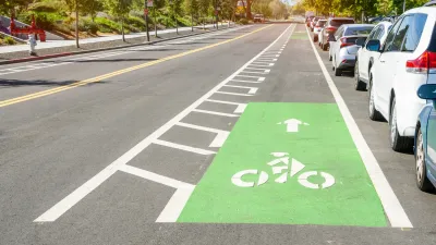
After years of calls from advocates to improve bike safety in Long Island City, New York's Department of Transportation will install bike lanes on three busy corridors, reports Julianne Cuba.
Department of Transportation officials on Tuesday night unveiled their plans for the new safety infrastructure on 44th Drive, 11th Street, and Jackson Avenue, amid a citywide bike boom that’s echoing particularly loudly in Long Island City. Cyclists are now taking more than 6,400 trips across the Queensboro Bridge — which experienced the highest jump of daily riders across the four East River spans — and more than 2,000 trips per day across the Pulaski Bridge, according to DOT.
According to the article, "The work is part of former Mayor de Blasio ‘s Green Wave plan that was announced during the summer of 2019, a year when a total of 29 cyclists were killed on city streets."
"Left out of the proposal are improvements to Borden Avenue and the intersection at the foot of the Pulaski Bridge, which Shepard says is treacherous for cyclists and pedestrians alike. DOT did not address that issue of that intersection, where there have been 68 crashes since March, 2017, injuring six cyclists and 11 motorists, according to city stats."
FULL STORY: Long Island City Getting Some Protected Bike Lanes

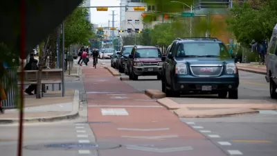
Why Bike Lanes Are Good: An Explainer for the US Transportation Secretary
Sean Duffy says there’s no evidence that bike lanes have benefits. Streetsblog — and federal agencies’ own data — beg to differ.
Austin Outlaws Blocking Bike Lanes
Drivers who park in bike lanes will receive citations of up to $300.
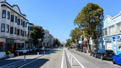
How San Francisco’s ‘People Protected Bike Lanes’ are Moving the Needle on Road Safety
A local bike safety protest has become a global phenomenon.

Montreal Mall to Become 6,000 Housing Units
Place Versailles will be transformed into a mixed-use complex over the next 25 years.

Planetizen Federal Action Tracker
A weekly monitor of how Trump’s orders and actions are impacting planners and planning in America.

DARTSpace Platform Streamlines Dallas TOD Application Process
The Dallas transit agency hopes a shorter permitting timeline will boost transit-oriented development around rail stations.

Interactive Map Reveals America's “Shade Deserts”
Launched by UCLA and American Forests to combat heat-related deaths, the tool maps the shade infrastructure for over 360 U.S. cities.

Bicycles and Books — In Sacramento, Libraries Now Offer Both
Adult library card holders can check out e-bikes and e-trikes for up to one week.

Colorado Landfills Emit as Much Pollution as 1M Cars
Landfills are the third-largest source of methane pollution in Colorado, after agriculture and fossil fuel extraction.
Urban Design for Planners 1: Software Tools
This six-course series explores essential urban design concepts using open source software and equips planners with the tools they need to participate fully in the urban design process.
Planning for Universal Design
Learn the tools for implementing Universal Design in planning regulations.
City of Mt Shasta
City of Camden Redevelopment Agency
City of Astoria
Transportation Research & Education Center (TREC) at Portland State University
City of Camden Redevelopment Agency
Municipality of Princeton (NJ)
Regional Transportation Commission of Southern Nevada