The new formulas for calculating the length of walk signals are designed to give people more time to safely cross the street.


"Determining how much time a pedestrian needs to safely cross the road at a crosswalk is surprisingly complicated," writes Michelle Baruchman in the Seattle Times. City engineers employ "a set of formulas that consider the width of the street, an average walking pace and intersection design, among other things" to calculate the amount of time needed for each intersection. Until recently, the Seattle Department of Transportation (SDOT) used an average walking speed of 3.5 feet per second. "Now, through conversations with a pedestrian-focused advisory group, SDOT has updated its guidelines to give people a little more time to cross — a move celebrated by advocates for seniors and people with disabilities."
Pedestrian advocates applaud the move as one of many possible "seemingly small tweaks" that "can make a big difference in street safety, without requiring major construction or costs." Akira Ohiso, a social worker with Sound Generations, an organization that provides activities for seniors, cited prior conditions as unsafe, saying that "crosswalks in busy urban streets do not allow enough time for older adults to cross safely, especially four-lane streets." The new guidelines call for recalculating the timing "when existing intersections are modified, when community members request a change and when new signals are installed." For drivers, the changes will "mostly balance out," according to SDOT spokesperson Ethan Bergerson, as "slightly longer red lights usually also lead to longer green lights."
The change comes as part of a broader move to improve pedestrian safety in the city that includes curb bulbs, leading pedestrian intervals, and guidance on whether intersections require push-to-walk buttons or automatic signals.
Read the full story: Why the ‘walk’ signals at some Seattle crosswalks seem a little longer now

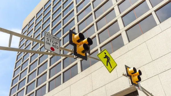
Austin Adds Pedestrian Improvements at Hundreds of Intersections
The city added leading pedestrian interval technology to over 600 intersections, giving pedestrians time to cross before vehicles.
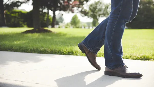
Without Sidewalks, Making Seattle Streets More Pedestrian Friendly
Over a quarter of city blocks lack sidewalk infrastructure. An advocacy project to reduce traffic speeds and increase pedestrian safety on these streets has evolved into a city-funded program.
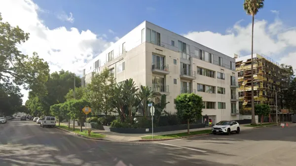
LA Cites Guerilla Crosswalk Painter With Vandalism
The LA Police Department stopped a group of volunteers who was painting missing crosswalks in a Westwood intersection.

Planetizen Federal Action Tracker
A weekly monitor of how Trump’s orders and actions are impacting planners and planning in America.

California plans to bury El Niño’s downpour
If the state plays its cards right, it may be able to store a billion acre-feet of El Niño’s water in aquifers.

Chicago breaks ground on $3 billion megadevelopment
The new neighborhood, titled Foundry Park, will one day host 3,700 residences.

Satanic place names
From streams and lakes to valleys and canyons, I mapped more than 1,000 places named after the Devil.

California High-Speed Rail Authority CEO resigns after $600,000 scandal
Under Ian Choudri, the authority used taxpayer dollars to fund first class flights and trips to nightclubs.

Want to study the Missouri River? Soon, you may need unanimous approval from 10 states
Legislation would require 10 governors’ permission to study or build projects moving water outside the basin.

FREE Course: Walkable City 1: Why Walkability?
After describing his path towards focusing on walkability as the essence of good planning, Jeff Speck marches through his five principal reasons for making more walkable places.
Reinventing Malls: Planning Alchemy—Turning Gray Fields Into Gold
The course focuses on the opportunities and imperatives that shape reinvention of mall sites.

City of Rosemead
Rutgers University, Edward J. Bloustein School of Planning and Public Policy
One Hundred Miles
Hunter College, City University of New York (CUNY)
The Architects Foundation
University of Cincinnati Online
City of Cambridge
Montrose County
The Pocatello Development Authority