After three months of study and analysis, NACTO is providing authoritative guidance on new ways of thinking about rights of way now that the coronavirus has changed the way we live and work in cities.


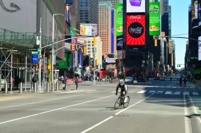
The National Association of City Transportation Officials (NACTO) released a new guide to street design for the ongoing pandemic and the future recovery.
The "Streets for Pandemic Response and Recovery" report showcases specific design and management tools "to keep essential workers and goods moving, provide safe access to grocery stores and other essential businesses, and ensure that people have safe space for social/physical distancing while getting outside," according to NACTO.
The report includes descriptions of emerging practices from around the world as well as implementation resources for communities. The following street features are addressed specifically in the report:
- Lanes for Biking & Rolling
- Sidewalk Extensions
- Transit Lanes
- Slow Streets
- Pick-Up & Delivery Zones
- Outdoor Dining
- Markets
An article by Kea Wilson provides additional background on how NACTO created the report, and shares insights into a few of the larger themes present in the report, liking designing for equity, the need for flexibility in design response, the post-pandemic sidewalk, and the need to balance outdoor restaurant space with space for pedestrians. Wilson wrote a separate article to address that last point more specifically, and in greater detail.
Read the full story: Streets for Pandemic Response and Recovery

How Oakland Is Fixing its Pandemic Planning Equity Problem
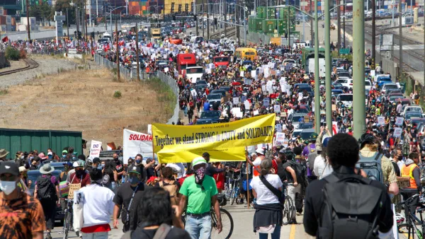
The Oakland Slow Streets program, one of the most controversial developments of the early pandemic, has evolved to become the Essential Places initiative, thanks to new planning practices and a commitment to equity in Oakland, California.
Pandemic Planning Must Reconcile With the Inequities of the Past
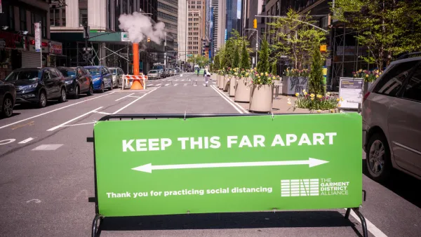
The ongoing debate about the role of marginalized communities in the emergency planning programs of the pandemic has now been detailed on the pages of the New York Times.
How Emergency Street Redesign Projects Fell Short of the Black Lives Matter Cause
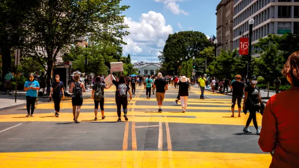
A leading advocate for a new, equity centering approach explains how plans to redesign streets for the needs of the coronavirus pandemic left behind racial justice as a secondary concern.

Planetizen Federal Action Tracker
A weekly monitor of how Trump’s orders and actions are impacting planners and planning in America.

California plans to bury El Niño’s downpour
If the state plays its cards right, it may be able to store a billion acre-feet of El Niño’s water in aquifers.

Chicago breaks ground on $3 billion megadevelopment
The new neighborhood, titled Foundry Park, will one day host 3,700 residences.

Satanic Place Names
From streams and lakes to valleys and canyons, I mapped more than 1,000 places named after the Devil.

California High-Speed Rail Authority CEO resigns after $600,000 scandal
Under Ian Choudri, the authority used taxpayer dollars to fund first class flights and trips to nightclubs.

Want to study the Missouri River? Soon, you may need unanimous approval from 10 states
Legislation would require 10 governors’ permission to study or build projects moving water outside the basin.

FREE Course: Walkable City 1: Why Walkability?
After describing his path towards focusing on walkability as the essence of good planning, Jeff Speck marches through his five principal reasons for making more walkable places.
Reinventing Malls: Planning Alchemy—Turning Gray Fields Into Gold
The course focuses on the opportunities and imperatives that shape reinvention of mall sites.

City of Rosemead
Rutgers University, Edward J. Bloustein School of Planning and Public Policy
One Hundred Miles
Hunter College, City University of New York (CUNY)
The Architects Foundation
University of Cincinnati Online
City of Cambridge
Montrose County
The Pocatello Development Authority