


There wasn't a playbook for this kind of emergency at the beginning of the year.

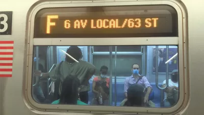
Transit agencies are cutting service all over the country in response to plummeting ridership and revenues as transit users stay home or choose other modes of transportation to slow the spread of the coronavirus. Jarrett Walker, who wrote a definitive article recently for CityLab on the essential service provided by transit during the pandemic, as well before the pandemic, has now written another article to provide transit agencies with guidance about why, and how, to cut service in response to the new reality.
Chapters of the article, each not as lengthy as Walker makes it seem at the beginning, read as follows:
Drilling down a bit here on that essential third chapter, Walker categorizes the types of cuts that can be made in two ways: 1) easy options, like tourism serving routes and rush hour service, and 2) difficult options, like cutting frequencies, service areas, and service hours.
Like many people lending their expertise for guidance through a confusing and uncertain time, Walker notes that from crisis comes opportunity. "And because this is a big and enduring crisis, the opportunity is big and enduring too."
FULL STORY: Cutting Transit Service During the Pandemic: Why? How? And What’s Next?

The Realities of Pandemic Public Transit Service
Recent analysis by TransitCenter quantifies the effects of the pandemic for the 150 largest U.S. transit systems.

D.C. Metro Seeks Public Input on Proposed Service Cuts
D.C. Metro Seeks Public Input on Proposed Service Cuts

Public Transit in Crisis: Low-Income Riders Have the Most to Lose From Service Cuts
Riders who rely most on public transit are suffering the worst consequences of the cuts to service during the fiscal belt tightening of the coronavirus pandemic.

Planetizen Federal Action Tracker
A weekly monitor of how Trump’s orders and actions are impacting planners and planning in America.

Congressman Proposes Bill to Rename DC Metro “Trump Train”
The Make Autorail Great Again Act would withhold federal funding to the system until the Washington Metropolitan Area Transit Authority (WMATA), rebrands as the Washington Metropolitan Authority for Greater Access (WMAGA).

DARTSpace Platform Streamlines Dallas TOD Application Process
The Dallas transit agency hopes a shorter permitting timeline will boost transit-oriented development around rail stations.

San Francisco's School District Spent $105M To Build Affordable Housing for Teachers — And That's Just the Beginning
SFUSD joins a growing list of school districts using their land holdings to address housing affordability challenges faced by their own employees.

Car-Centric LA Suburb Looks to a Train-Oriented Future
City leaders in Rancho Cucamonga, the future western terminus of the Brightline West rail line to Las Vegas, want to reimagine the city as a transit-oriented, pedestrian-friendly community.

New Alaska Bitcoin Mine Would Burn as Much Energy as the State’s Largest Coal Plant
Fueled by “stranded” natural gas, the startup hopes to become the largest in the US, and to make Alaska an industry center.
Urban Design for Planners 1: Software Tools
This six-course series explores essential urban design concepts using open source software and equips planners with the tools they need to participate fully in the urban design process.
Planning for Universal Design
Learn the tools for implementing Universal Design in planning regulations.
Municipality of Princeton
Roanoke Valley-Alleghany Regional Commission
City of Mt Shasta
City of Camden Redevelopment Agency
City of Astoria
Transportation Research & Education Center (TREC) at Portland State University
US High Speed Rail Association
City of Camden Redevelopment Agency
Municipality of Princeton (NJ)