


The historic, car-free transformation of San Francisco's busiest street opens to the public today.
Mayor London Breed takes to the Internet today to announce the arrival of a whole new Market Street in San Francisco.
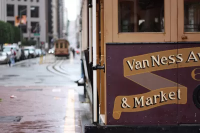
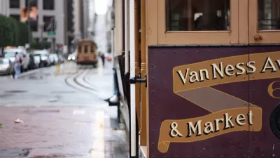
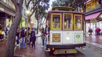
Starting today, over 2 miles of Market Street will become car-free, a historic milestone in the history of San Francisco and in the world-wide movement to create more spaces that are made for people.
According to Breed, Market Street is the busiest street in the city, and it's taken decades of politics and planning to complete this transformation. The final clearance for today's big reveal came in October 2019—the culmination of the Better Market Street process, which invested $604 million to improve the public realm for all users of the street.
Jeffrey Tumlin, the recently hired executive director of the San Francisco Municipal Transportation Agency, was on the scene this morning to reveal the new Market Street, and it almost looks like a scene in Europe.
Market St this morning pic.twitter.com/5z2GZI6P35
— Jeffrey Tumlin (@jeffreytumlin) January 29, 2020
The comments on a celebratory tweet from Mayor Breed, however, are typically American.
Starting today, San Francisco's main civic boulevard puts people first.
Market Street is officially car-free!https://t.co/lJbk8R2jMS— London Breed (@LondonBreed) January 29, 2020
FULL STORY: Making Market Street Car-Free


Car-Free Streets Aren't a Silver Bullet
The San Francisco Chronicle's urban design critic tempers expectations for Market Street in San Francisco, where the city this week undertook an ambitious, but perhaps over-sold, redesign of the busy street.
Car-Free Market Street Approved in San Francisco
The San Francisco Municipal Transportation Agency Board of Directors approved the Better Market Street plan on October 15, 2019.
San Francisco Returns $15 Million Federal Grant for Market Street Improvements
San Francisco was awarded a federal grant in 2018 that it was forced to return in 2022 because it couldn't start construction by 2025.

Planetizen Federal Action Tracker
A weekly monitor of how Trump’s orders and actions are impacting planners and planning in America.

Congressman Proposes Bill to Rename DC Metro “Trump Train”
The Make Autorail Great Again Act would withhold federal funding to the system until the Washington Metropolitan Area Transit Authority (WMATA), rebrands as the Washington Metropolitan Authority for Greater Access (WMAGA).

DARTSpace Platform Streamlines Dallas TOD Application Process
The Dallas transit agency hopes a shorter permitting timeline will boost transit-oriented development around rail stations.

Renters Now Outnumber Homeowners in Over 200 US Suburbs
High housing costs in city centers and the new-found flexibility offered by remote work are pushing more renters to suburban areas.

The Tiny, Adorable $7,000 Car Turning Japan Onto EVs
The single seat Mibot charges from a regular plug as quickly as an iPad, and is about half the price of an average EV.

Supreme Court Ruling in Pipeline Case Guts Federal Environmental Law
The decision limits the scope of a federal law that mandates extensive environmental impact reviews of energy, infrastructure, and transportation projects.
Urban Design for Planners 1: Software Tools
This six-course series explores essential urban design concepts using open source software and equips planners with the tools they need to participate fully in the urban design process.
Planning for Universal Design
Learn the tools for implementing Universal Design in planning regulations.
Municipality of Princeton
Roanoke Valley-Alleghany Regional Commission
City of Mt Shasta
City of Camden Redevelopment Agency
City of Astoria
Transportation Research & Education Center (TREC) at Portland State University
US High Speed Rail Association
City of Camden Redevelopment Agency
Municipality of Princeton (NJ)