Over a quarter of city blocks lack sidewalk infrastructure. An advocacy project to reduce traffic speeds and increase pedestrian safety on these streets has evolved into a city-funded program.


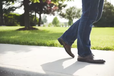
In Seattle, 45,000 blocks lack sidewalks, and last year the Seattle Neighborhood Greenways, a neighborhood-based, volunteer coalition, launched a DIY program to make streets safer for pedestrians. "The concept is called Home Zones and is meant to create 'living streets' that can be shared between cars and people," writes Emily Nonko.
After a Home Zones pilot program in a north Seattle neighborhood, the Seattle City Council allocated $350,000 for an expanded program. "The greater vision of Home Zones, according to [Gordon] Padelford, is installing a combination of speed humps, traffic diverters, wayfinding signage and public artwork — lower-cost options in lieu of sidewalks," notes Nonko.
The Seattle Department of Transportation is overseeing the official pilot program, which will be implemented in two neighborhoods. But advocates say progress has been slow and the program still has not been fully funded. They also want to see more funding in next year’s city budget for implementable low-cost alternatives to sidewalks.
Read the full story: DIY Initiative Addressing Lack of Seattle Sidewalks Becomes a City Pilot

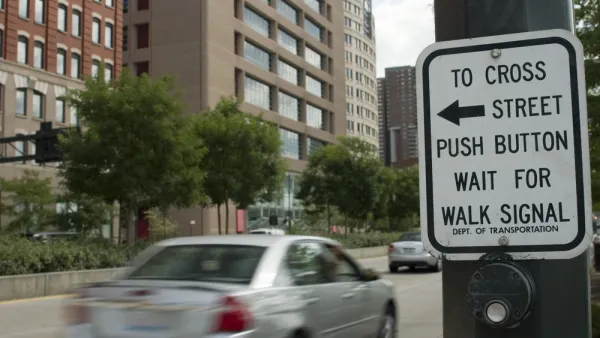
Seattle Recalculates Walk Signal Timing to Make Crossings Safer for Pedestrians
The new formulas for calculating the length of walk signals are designed to give people more time to safely cross the street.

The number of kids walking to school dropped from over 50% to 11% since the 1960s
Unsafe pedestrian infrastructure makes walking to school dangerous or impossible for a growing number of American students.
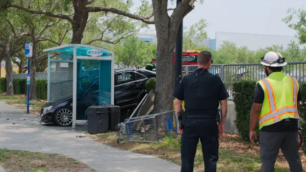
Buses are very safe. The walk to and from stations, not so much.
A disproportionate number of crashes involving pedestrians happen near transit stops.

Planetizen Federal Action Tracker
A weekly monitor of how Trump’s orders and actions are impacting planners and planning in America.

California plans to bury El Niño’s downpour
If the state plays its cards right, it may be able to store a billion acre-feet of El Niño’s water in aquifers.

Chicago breaks ground on $3 billion megadevelopment
The new neighborhood, titled Foundry Park, will one day host 3,700 residences.

Satanic place names
From streams and lakes to valleys and canyons, I mapped more than 1,000 places named after the Devil.

California High-Speed Rail Authority CEO resigns after $600,000 scandal
Under Ian Choudri, the authority used taxpayer dollars to fund first class flights and trips to nightclubs.

Want to study the Missouri River? Soon, you may need unanimous approval from 10 states
Legislation would require 10 governors’ permission to study or build projects moving water outside the basin.

FREE Course: Walkable City 1: Why Walkability?
After describing his path towards focusing on walkability as the essence of good planning, Jeff Speck marches through his five principal reasons for making more walkable places.
Reinventing Malls: Planning Alchemy—Turning Gray Fields Into Gold
The course focuses on the opportunities and imperatives that shape reinvention of mall sites.

City of Rosemead
Rutgers University, Edward J. Bloustein School of Planning and Public Policy
One Hundred Miles
Hunter College, City University of New York (CUNY)
The Architects Foundation
University of Cincinnati Online
City of Cambridge
Montrose County
The Pocatello Development Authority