


Augmented reality could boost safety for pedestrians, or it could add another layer of distraction between people and the real world.
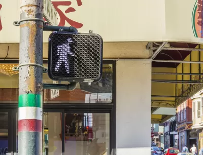
"Google Maps released an augmented reality (AR) feature, Live View, to help pedestrians navigate more effectively," reports Katie Pyzyk.
"The feature overlays a live video feed on the map. Directional arrows and street names appear on the video feed to provide more intuitive navigation and give the user a sense of exactly where they are and where they need to go.'
The new feature is intended to become a permanent element of Google Maps, according to a Google spokesperson quoted in the article. The article has more details about the availability of the new feature (locations and devices), as well as the potential benefits and risks of AR features used in the public realm.
Augmented reality is making steady progress into the mainstream app world. An AR public art app was released by Apple over the weekend in six cities.
FULL STORY: Google Maps releases AR feature for walking directions

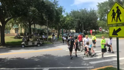
Earn Rewards for Traveling for by Foot, Bike, Bus, or Train
The city of Orlando is partnering with the Miles app.

New Google Map Layer Shows COVID-19 Infection Rates
A new layer showing the seven-day average of confirmed COVID-19 cases started rolling out to Android and iPhones last week.
Southeast LA Road Safety Advocates Call for Improved Infrastructure
Streets in southeastern Los Angeles County have a severe lack of protected bike lanes and traffic safety measures, leading to high numbers of fatalities in a community where many residents depend on walking and biking for daily needs.

Planetizen Federal Action Tracker
A weekly monitor of how Trump’s orders and actions are impacting planners and planning in America.

Congressman Proposes Bill to Rename DC Metro “Trump Train”
The Make Autorail Great Again Act would withhold federal funding to the system until the Washington Metropolitan Area Transit Authority (WMATA), rebrands as the Washington Metropolitan Authority for Greater Access (WMAGA).

The Simple Legislative Tool Transforming Vacant Downtowns
In California, Michigan and Georgia, an easy win is bringing dollars — and delight — back to city centers.

The States Losing Rural Delivery Rooms at an Alarming Pace
In some states, as few as 9% of rural hospitals still deliver babies. As a result, rising pre-term births, no adequate pre-term care and "harrowing" close calls are a growing reality.

The Small South Asian Republic Going all in on EVs
Thanks to one simple policy change less than five years ago, 65% of new cars in this Himalayan country are now electric.

DC Backpedals on Bike Lane Protection, Swaps Barriers for Paint
Citing aesthetic concerns, the city is removing the concrete barriers and flexposts that once separated Arizona Avenue cyclists from motor vehicles.
Urban Design for Planners 1: Software Tools
This six-course series explores essential urban design concepts using open source software and equips planners with the tools they need to participate fully in the urban design process.
Planning for Universal Design
Learn the tools for implementing Universal Design in planning regulations.
Smith Gee Studio
City of Charlotte
City of Camden Redevelopment Agency
City of Astoria
Transportation Research & Education Center (TREC) at Portland State University
US High Speed Rail Association
City of Camden Redevelopment Agency
Municipality of Princeton (NJ)