According to a newly released working paper, people in 20th century noticed the air and noise pollution and severed neighborhoods caused by freeways, and many of those people chose to move to the suburbs rather than deal with the nuisance.


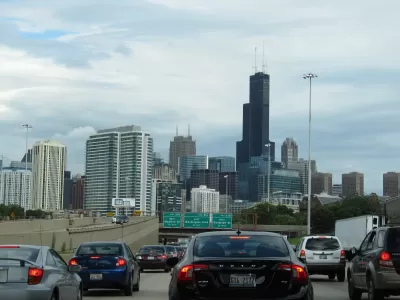
The Federal Reserve Bank of Philadelphia released a working paper [pdf] recently that documents the detrimental effects of freeways on quality of life in central urban areas.
As explained in an article by Darryl C. Murphy, researchers at the Federal Reserve Bank of Philadelphia "took a broad look at how highways have contributed to suburbanization, and the subsequent decline of U.S. cities during the 20th century. "
"They found that between 1950 and 2010 highways slowed growth in income, population, and land values in city centers, while having the opposite effect in outlying areas," according to Murphy.
A key aspect of the narrative built in the paper is the history of "freeway revolts"—communities banding together to sway the final product of the Interstate highway system where it passed through urban areas. The study documents the changes these revolts were able to produce in the final freeway products of urban areas.
Despite the location of the authors who wrote this working paper, the research focuses specifically on examples from Boston, Chicago, and Detroit.
Read the full story: Philly Fed economists: Here’s how highways ruined your city

USDOT Threatens to Pull Chicago, Boston Transit Funding
The Trump administration is using isolated incidents on public transit systems to call for tighter security.
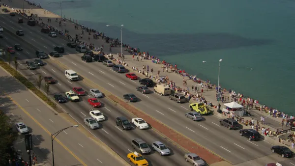
Bus Lanes, Desired by Advocates for Chicago's Lake Shore Drive Project, Back on the Table
After releasing a list of project alternatives that didn't include new bus lanes in the existing roadway, the Illinois Department of Transportation (IDOT) has changed its mind.
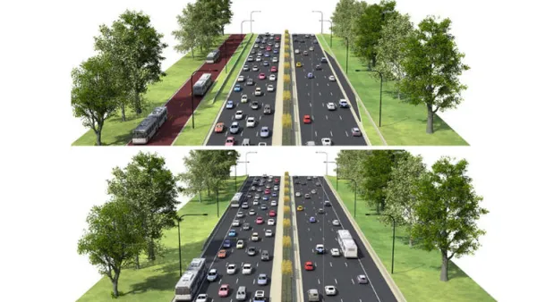
North Lake Shore Drive Redo Falls Short of Bus Priority Expectations
Strong criticisms of the project alternatives under consideration by the Illinois Department of Transportation for the closely watched North Lake Shore Drive project.

Planetizen Federal Action Tracker
A weekly monitor of how Trump’s orders and actions are impacting planners and planning in America.

The state-sanctioned urbicide of Austin
People don’t kill cities. Freeways do.

US to reduce Colorado River water deliveries to Mexico
A new Colorado Treaty amendment reduces Mexico’s Colorado River water allocation by 250,000 acre feet.

Nation's most wind-powered state turns to coal as data centers increase energy demand
For the first time in decades, Iowa has increased its generation of coal power.

NYC cools commuters with city's first rain garden above a bus stop
New York City officials say the plants in the rain garden can absorb 16 gallons of rainwater during heavy storms.

Brightline West’s future may rely on $6 billion federal loan
The company has until Nov. 2 to make a $400 million equity investment into its proposed high-speed rail line.

FREE Course: Walkable City 1: Why Walkability?
After describing his path towards focusing on walkability as the essence of good planning, Jeff Speck marches through his five principal reasons for making more walkable places.
Reinventing Malls: Planning Alchemy—Turning Gray Fields Into Gold
The course focuses on the opportunities and imperatives that shape reinvention of mall sites.

Greater Baltimore Committee
Eagle County Government
Harvard University Graduate School of Design
The Architects Foundation
University of Cincinnati Online
The Pocatello Development Authority
The Urban Renewal Agency of the City of Pocatello
Journal of the American Planning Association