


An intrepid mapmaker has created a stunning map of the Pacific Electric Railway System, the old public transit system for L.A. and surrounding environs, once the largest trolley system in the world.

Erick Galindo shares the work of Jake Berman, who recently posted a map of the historic Los Angeles streetcar network on Reddit. Berman is quoted directly in the article explaining the thinking behind the map:
"I’d like Angelenos to be able to imagine a Los Angeles that wasn’t totally dependent on the car," Berman told L.A. Taco. "Contrary to popular belief, it was the streetcars that originally defined L.A. and you can still see traces of that legacy across the metropolis if you know where to look."
Berman has created a lot more maps, if visualizing a publicly oriented version of Los Angeles isn't enough. Berman's map work on his site fifty-three studio includes historical maps of Caracas, Venezuela and Oakland as well as the light rail system in Wakanda from Black Panther.
FULL STORY: THE GLORY DAYS OF L.A. PUBLIC TRANSIT IN 1926, MAPPED

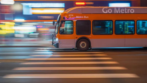
High Housing Costs Driving Down Transit Ridership in LA
When neighborhoods gentrify and displace lower-income residents, transit ridership suffers, new research shows.
LA ‘Mobility Wallet’ Increased Quality of Life for Participants
The city distributed a monthly $150 transportation subsidy to 1,000 low-income Angelenos. It dramatically improved their lives.
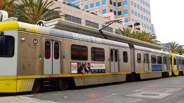
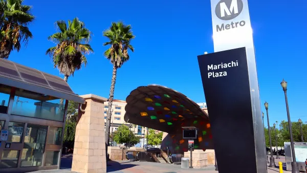
The World’s Longest Light Rail Line is in… Los Angeles?
In a city not known for its public transit, the 48.5-mile A Line is the longest of its kind on the planet.

Planetizen Federal Action Tracker
A weekly monitor of how Trump’s orders and actions are impacting planners and planning in America.

San Francisco's School District Spent $105M To Build Affordable Housing for Teachers — And That's Just the Beginning
SFUSD joins a growing list of school districts using their land holdings to address housing affordability challenges faced by their own employees.

Can We Please Give Communities the Design They Deserve?
Often an afterthought, graphic design impacts everything from how we navigate a city to how we feel about it. One designer argues: the people deserve better.

The EV “Charging Divide” Plaguing Rural America
With “the deck stacked” against rural areas, will the great electric American road trip ever be a reality?

Judge Halts Brooklyn Bike Lane Removal
Lawyers must prove the city was not acting “arbitrarily, capriciously, and illegally” in ordering the hasty removal.

Engineers Gave America's Roads an Almost Failing Grade — Why Aren't We Fixing Them?
With over a trillion dollars spent on roads that are still falling apart, advocates propose a new “fix it first” framework.
Urban Design for Planners 1: Software Tools
This six-course series explores essential urban design concepts using open source software and equips planners with the tools they need to participate fully in the urban design process.
Planning for Universal Design
Learn the tools for implementing Universal Design in planning regulations.
Borough of Carlisle
Smith Gee Studio
City of Camden Redevelopment Agency
City of Astoria
Transportation Research & Education Center (TREC) at Portland State University
City of Camden Redevelopment Agency
Municipality of Princeton (NJ)