


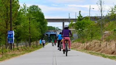
A cross-jurisdictional trail map is harder to find than one might expect. Not so anymore in the Washington, D.C. region.
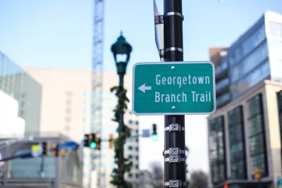
"Until now, it has been difficult to see how the [Washington, D.C.] region's travels connect to each other," according to an article by Bryan Barnett-Woods. "A new map from the Capital Trails Coalition solves that."
The Capital Trails Coalition allows new insight into how and where to walk and bicycle through Maryland, Virginia, and DC. "Their map shows how existing and planned trails can create a safe, accessible, and convenient network that connects all parts of the region together and will help provide healthy, low-stress access to open space and reliable transportation for people of all ages and abilities," adds Barnett-Woods.
The article includes more details about how the Capital Trails Coalition built the map, which includes interesting details of what was left out, as much as what was included.
FULL STORY: What does a regional trail network in Washington actually look like?

BeltLine Construction Projects Delayed
Atlanta officials say delays in relocating fiber lines are slowing construction on the walking and biking trail.

The East Coast Greenway Is Stitching Together a 3,000-Mile Trail Network
The ever-evolving greenway connects biking and walking trails from Maine to Florida.

New Long-Range Transportation Plan for the D.C. Region Will Include a Climate Addendum
The National Capital Region Transportation Planning Board has almost completed the latest version fo the Visualize 2045 long-range transportation plan, but it is already making plans to add a climate plan to the final product.

Maui's Vacation Rental Debate Turns Ugly
Verbal attacks, misinformation campaigns and fistfights plague a high-stakes debate to convert thousands of vacation rentals into long-term housing.

Planetizen Federal Action Tracker
A weekly monitor of how Trump’s orders and actions are impacting planners and planning in America.

San Francisco Suspends Traffic Calming Amidst Record Deaths
Citing “a challenging fiscal landscape,” the city will cease the program on the heels of 42 traffic deaths, including 24 pedestrians.

Adaptive Reuse Will Create Housing in a Suburban Texas Strip Mall
A developer is reimagining a strip mall property as a mixed-use complex with housing and retail.

Study: Anti-Homelessness Laws Don’t Work
Research shows that punitive measures that criminalized unhoused people don’t help reduce homelessness.

In U.S., Urban Gondolas Face Uphill Battle
Cities in Latin America and Europe have embraced aerial transitways — AKA gondolas — as sustainable, convenient urban transport, especially in tricky geographies. American cities have yet to catch up.
Urban Design for Planners 1: Software Tools
This six-course series explores essential urban design concepts using open source software and equips planners with the tools they need to participate fully in the urban design process.
Planning for Universal Design
Learn the tools for implementing Universal Design in planning regulations.
Heyer Gruel & Associates PA
JM Goldson LLC
Custer County Colorado
City of Camden Redevelopment Agency
City of Astoria
Transportation Research & Education Center (TREC) at Portland State University
Jefferson Parish Government
Camden Redevelopment Agency
City of Claremont