


An underused highway could become a pedestrian and bike trail connecting the Cape Cod town to its beaches.
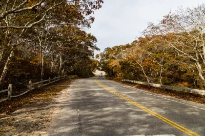
In Provincetown, Massachusetts, “for over half a century, an orphaned four-lane divided highway – Route 6 – has cut off the town of 3,000 people from the sand dunes, trails, and beaches that lie to the north of the highway.” Now, Christian MilNeil writes in Streetsblog Mass, “the town and MassDOT are planning to connect downtown Provincetown with the trail network of the Cape Cod National Seashore by cutting Route 6 in half.”
The project would connect to downtown Provincetown and provide a new link for pedestrians and cyclists. “On the mile-long segment of Route 6 between Provincetown’s Shank Painter Road and the beach, the northern side of the divided highway – what are currently the two westbound highway lanes – will be converted into a normal two-lane roadway. The other half – what are currently the eastbound lanes – will be trimmed down to create a 16-foot-wide car-free path.”
At the same time, MassDOT and the town are planning to add pedestrian infrastructure and upgrades to Shank Painter Road, “a major cross-town route that currently lacks any sidewalks along most of its length.” Officials also envision a future connection to the Cape Cod Rail Trail.
FULL STORY: Provincetown Plans to Carve Up Its Freeway For a New Car-Free Path

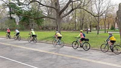
Washington State Plans Ambitious ‘Cycle Highway’ Network
The state is directing funding to close gaps in its existing bike network and make long-distance trips more accessible.

Central Ohio Voters Pass Transit Levy
The new sales tax will fund improved bus service, rapid transit projects, and ‘transit -supportive’ infrastructure.
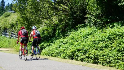
Twin Cities Suburbs Look to Improve Bike Facilities
Communities around Minneapolis and St. Paul are working to build more robust bike infrastructure networks.

Planetizen Federal Action Tracker
A weekly monitor of how Trump’s orders and actions are impacting planners and planning in America.

Map: Where Senate Republicans Want to Sell Your Public Lands
For public land advocates, the Senate Republicans’ proposal to sell millions of acres of public land in the West is “the biggest fight of their careers.”

Restaurant Patios Were a Pandemic Win — Why Were They so Hard to Keep?
Social distancing requirements and changes in travel patterns prompted cities to pilot new uses for street and sidewalk space. Then it got complicated.

Platform Pilsner: Vancouver Transit Agency Releases... a Beer?
TransLink will receive a portion of every sale of the four-pack.

Toronto Weighs Cheaper Transit, Parking Hikes for Major Events
Special event rates would take effect during large festivals, sports games and concerts to ‘discourage driving, manage congestion and free up space for transit.”

Berlin to Consider Car-Free Zone Larger Than Manhattan
The area bound by the 22-mile Ringbahn would still allow 12 uses of a private automobile per year per person, and several other exemptions.
Urban Design for Planners 1: Software Tools
This six-course series explores essential urban design concepts using open source software and equips planners with the tools they need to participate fully in the urban design process.
Planning for Universal Design
Learn the tools for implementing Universal Design in planning regulations.
Heyer Gruel & Associates PA
JM Goldson LLC
Custer County Colorado
City of Camden Redevelopment Agency
City of Astoria
Transportation Research & Education Center (TREC) at Portland State University
Camden Redevelopment Agency
City of Claremont
Municipality of Princeton (NJ)