


Cyclists across the state resoundingly called for more safe bike infrastructure and trails, citing a lack of bike lanes as a top reason for not riding more.
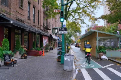
Results of the New York Cycling Census indicate that, unsurprisingly, cyclists say better bike lanes and other safe bike infrastructure encourage more people to bike, writes Dave Colon in Streetsblog NYC.
“The need for safe bike routes to make cycling more popular might seem like an obvious solution to anyone who’s deep in the street safety fight, but one of the architects of the survey said that the results help make the case that every part of the state should make cycling infrastructure a priority.”
Across all New York counties, respondents expressed “overwhelming demand” for more bike infrastructure, according to the census. The census, which received 13,740 responses, was one of the largest U.S. bike surveys ever conducted. “The survey found that the top three reasons people rode their bike were for fitness (21 percent), fun (21 percent) or mental health (19 percent), and that the top three trip types on bikes were recreation (28 percent), exercise (27 percent) and commuting (17 percent).”
The authors note that data on specific reasons why people ride or don’t ride bikes can be a useful tool for policymakers and advocates, “as it allows for a new way for governments to figure out how to build bike-friendly communities.”
FULL STORY: “Cyclists Statewide Agree: More Bike Lanes Means More People On Bikes

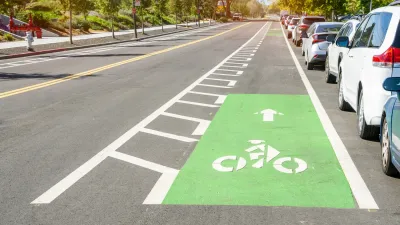
Why Bike Lanes Are Good: An Explainer for the US Transportation Secretary
Sean Duffy says there’s no evidence that bike lanes have benefits. Streetsblog — and federal agencies’ own data — beg to differ.
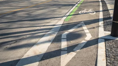
Houston Mayor Promises Dedicated Austin Street Bike Lane After Public Backlash
Although the one-way bike lane won’t be protected by physical barriers, the proposal is an improvement over the mayor’s initial plan to only include sharrows on the Austin Street project.
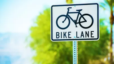
A Troubling Trend of Backlash to Bike Lanes
Some cities are going so far as to rip out protected bike infrastructure that took years of advocacy to build.

Planetizen Federal Action Tracker
A weekly monitor of how Trump’s orders and actions are impacting planners and planning in America.

Map: Where Senate Republicans Want to Sell Your Public Lands
For public land advocates, the Senate Republicans’ proposal to sell millions of acres of public land in the West is “the biggest fight of their careers.”

Restaurant Patios Were a Pandemic Win — Why Were They so Hard to Keep?
Social distancing requirements and changes in travel patterns prompted cities to pilot new uses for street and sidewalk space. Then it got complicated.

Platform Pilsner: Vancouver Transit Agency Releases... a Beer?
TransLink will receive a portion of every sale of the four-pack.

Toronto Weighs Cheaper Transit, Parking Hikes for Major Events
Special event rates would take effect during large festivals, sports games and concerts to ‘discourage driving, manage congestion and free up space for transit.”

Berlin to Consider Car-Free Zone Larger Than Manhattan
The area bound by the 22-mile Ringbahn would still allow 12 uses of a private automobile per year per person, and several other exemptions.
Urban Design for Planners 1: Software Tools
This six-course series explores essential urban design concepts using open source software and equips planners with the tools they need to participate fully in the urban design process.
Planning for Universal Design
Learn the tools for implementing Universal Design in planning regulations.
Heyer Gruel & Associates PA
JM Goldson LLC
Custer County Colorado
City of Camden Redevelopment Agency
City of Astoria
Transportation Research & Education Center (TREC) at Portland State University
Camden Redevelopment Agency
City of Claremont
Municipality of Princeton (NJ)