The former mayor's administration oversaw several major changes in the city's skyline, streets, and public spaces.


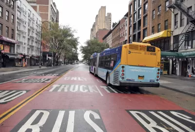
An article by Rachel Holliday Smith describes the changes that have happened to New York City's built environment and skyline during former Mayor Bill de Blasio's administration, which include rezoning, bus lanes, and more supertall buildings.
Some of the changes that impacted the city the most, writes Holliday Smith, are the adoption of outdoor dining and living spaces during the pandemic, programs which the city wants to make permanent. The city also invested heavily in the renovation of city parks in underserved communities and expanded bus and bike lanes.
The article also points to the East Side Coastal Resiliency Project which, while controversial, aims to protect a densely populated neighborhood from flooding and rising sea levels. Another major change: the city's shift of a third of its public housing units to private management using the federal Rental Assistance Demonstration program, which is designed to help cities improve conditions in affordable housing units. Meanwhile, the NYCHA hopes to receive at least $35 billion in assistance funds from the Build Back Better plan in order to meet its $40 billion backlog.
In the past eight years, nine neighborhoods have been rezoned to allow for more density, but critics point out that early efforts focused primarily on low-income neighborhoods, while the results of these rezoning efforts will take years to manifest.
Read the full story: Skylines and Streetscapes: How New York City Physically Changed in de Blasio Era

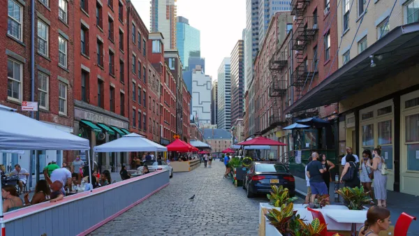
New York Outdoor Dining, Open Streets Programs Now Permanent
New York City will now be measurably less car-centric for the indefinite future.
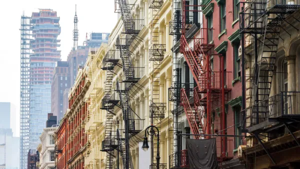
Three Years of New York's Mandatory Inclusionary Housing Program
One of the more aggressive inclusionary zoning programs in the country has been in place long enough to evaluate for lessons regarding the effectiveness of the controversial affordable housing development tool.
An Aggressive Pitch to Bail out New York City's Public Housing
Mayor Bill De Blasio released an aggressive and likely contentious plan to fund the New York Housing Authority, which is currently sitting on $16 billion in needed maintenance work.

Planetizen Federal Action Tracker
A weekly monitor of how Trump’s orders and actions are impacting planners and planning in America.

California plans to bury El Niño’s downpour
If the state plays its cards right, it may be able to store a billion acre-feet of El Niño’s water in aquifers.

Chicago breaks ground on $3 billion megadevelopment
The new neighborhood, titled Foundry Park, will one day host 3,700 residences.

Satanic Place Names
From streams and lakes to valleys and canyons, I mapped more than 1,000 places named after the Devil.

California High-Speed Rail Authority CEO resigns after $600,000 scandal
Under Ian Choudri, the authority used taxpayer dollars to fund first class flights and trips to nightclubs.

Want to study the Missouri River? Soon, you may need unanimous approval from 10 states
Legislation would require 10 governors’ permission to study or build projects moving water outside the basin.

FREE Course: Walkable City 1: Why Walkability?
After describing his path towards focusing on walkability as the essence of good planning, Jeff Speck marches through his five principal reasons for making more walkable places.
Reinventing Malls: Planning Alchemy—Turning Gray Fields Into Gold
The course focuses on the opportunities and imperatives that shape reinvention of mall sites.

City of Rosemead
Rutgers University, Edward J. Bloustein School of Planning and Public Policy
One Hundred Miles
Hunter College, City University of New York (CUNY)
The Architects Foundation
University of Cincinnati Online
City of Cambridge
Montrose County
The Pocatello Development Authority