


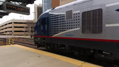
A project that won funding from federal stimulus programs during the Obama administration is finally paying off on the Amtrak route between Chicago and St. Louis.

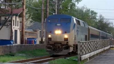
Amtrak trains traveling between St. Louis and Chicago can now reach speeds of 90 miles per hour, thanks to new brakes installed after three years of delays.
According to an article reporting the news by Mark Schlinkmann for the St. Louis Post-Dispatch, the new top speeds are one step closer to a final goal of top speeds of 110 miles per hour, which is expected in another year and half. The new top speed trims 15 minutes off the 284-mile journey.
The new top speeds were delayed after the 2017 completion date due to a "longer-than-expected process of installing and testing new GPS-related safety technology — called positive train control," adds Schlinkmann.
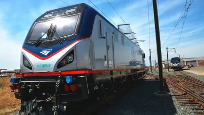
"The changes are part of a $1.95 billion upgrade of the St. Louis-Chicago corridor that was mostly finished in 2017," according to Schlinkmann. "The project, largely funded by federal economic stimulus dollars allotted under then-President Barack Obama, included new rails and concrete ties, new Amtrak stations in Alton and elsewhere and improved crossing gates to keep vehicles from weaving around crossing bars."
Planetizen picked up the news of the high speed rail funding that included the Chicago-to-St. Louis improvements in 2010.
FULL STORY: Trains on Amtrak’s St. Louis-Chicago route now running at up to 90 mph

Chicago-St. Louis Corridor Trains Cleared for 110-mph Speeds
Amtrak has final federal approval for train speeds of 110 miles per hour between Joliet and Alton, culminating almost ten years of planning and investing.
Higher Speeds from St. Louis to Chicago Delayed Again for Amtrak
Long awaited improvements on the Amtrak route between Chicago and St. Louis are being delayed again, this time because of trouble installing positive train control (PTC).
Chicago to St. Louis Amtrak Still Not Up to Speed
The higher speed train route between the two cities, funded by the recession-era stimulus package, is capable of 90 to 110 mph, but is stuck at 78.

Planetizen Federal Action Tracker
A weekly monitor of how Trump’s orders and actions are impacting planners and planning in America.

Chicago’s Ghost Rails
Just beneath the surface of the modern city lie the remnants of its expansive early 20th-century streetcar system.

San Antonio and Austin are Fusing Into one Massive Megaregion
The region spanning the two central Texas cities is growing fast, posing challenges for local infrastructure and water supplies.

Since Zion's Shuttles Went Electric “The Smog is Gone”
Visitors to Zion National Park can enjoy the canyon via the nation’s first fully electric park shuttle system.

Trump Distributing DOT Safety Funds at 1/10 Rate of Biden
Funds for Safe Streets and other transportation safety and equity programs are being held up by administrative reviews and conflicts with the Trump administration’s priorities.

German Cities Subsidize Taxis for Women Amid Wave of Violence
Free or low-cost taxi rides can help women navigate cities more safely, but critics say the programs don't address the root causes of violence against women.
Urban Design for Planners 1: Software Tools
This six-course series explores essential urban design concepts using open source software and equips planners with the tools they need to participate fully in the urban design process.
Planning for Universal Design
Learn the tools for implementing Universal Design in planning regulations.
planning NEXT
Appalachian Highlands Housing Partners
Mpact (founded as Rail~Volution)
City of Camden Redevelopment Agency
City of Astoria
City of Portland
City of Laramie