


Details on a proposed change of definition for Metropolitan Statistical Areas that would greatly expand the area of the country deemed rural.
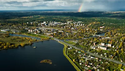
Zoe Nemerever and Melissa Rogers provide explanatory reporting on the ongoing process at the Office of Management and Budget (OMB) to change the way the federal government defines which parts of the country are urban and which are rural. The key term in question is the Metropolitan Statistical Area (MSA)—as reported by a Planetizen post from March 2021, changes proposed in the final days of the Trump administration would cut hundreds of MSAs from the list with potentially significant consequences for federal funding programs.
As noted by Nemerever and Rogers, the recent push to change the MSA classification is the result of over a decade of political pressure:
Both the Government Accountability Office in 2004 and Congress in 2014 have pushed OMB to update the classification because of changes in population distribution over the past 50 years, such as urban sprawl, innovations in public and private transportation, and trends toward higher-density housing. After Congress’s request for a report on how the metro/nonmetro classification affects public policy, the Congressional Research Service concluded that changing those designations would require reviewing the statutes, regulations and formulas associated with all government programs. Paralyzed by the task, OMB tabled any proposed changes to the MSA classifications. Until now.
The OMB proposal would transform the MSA designation by increasing the minimum population for the decade from 50,000 people to 100,000. While earlier reporting focused on the effect of the change would change 144 areas from metropolitan to nonmetropolitan designations, thus greatly expanding the amount of the country considered rural, this article focuses on the number of counties affected.
"Under the new definition, 255 of the country’s 3,006 counties would be shifted from metropolitan to nonmetropolitan — expanding the rural United States, on paper at least, from 14 percent to 20 percent of the country’s population," according to Nemerever and Rogers.
The article includes a lot more details about the consequences should the change achieve final adoption. In the meantime, the Biden administration is still working on the change as opposition grows on both sides of the aisle in Congress. "Both Republicans and Democrats objected to the change. One-quarter of U.S. senators, from both parties and many from rural states, urged officials to reconsider," according to the article.
FULL STORY: Is your town urban or rural? A lot of money rides on the government’s answer — which may soon change.


How the Trump Presidency Could Impact Urban Planning
An analysis of potential changes in federal housing, transportation, and climate policies.
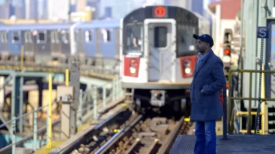
The News Is Not All Bad
President Trump's election might not be a disaster for local transit.
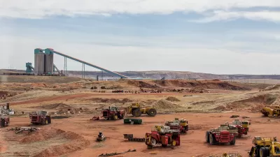
A Win for ‘Keep it in the Ground’
Coal mining in Wyoming will take a major hit as a result of a U.S. Department of Interior plan to cease future leasing of coal mines in the nation's most productive coal mining basin. The decision casts a spotlight on the presidential election.

Planetizen Federal Action Tracker
A weekly monitor of how Trump’s orders and actions are impacting planners and planning in America.

Map: Where Senate Republicans Want to Sell Your Public Lands
For public land advocates, the Senate Republicans’ proposal to sell millions of acres of public land in the West is “the biggest fight of their careers.”

Restaurant Patios Were a Pandemic Win — Why Were They so Hard to Keep?
Social distancing requirements and changes in travel patterns prompted cities to pilot new uses for street and sidewalk space. Then it got complicated.

Platform Pilsner: Vancouver Transit Agency Releases... a Beer?
TransLink will receive a portion of every sale of the four-pack.

Toronto Weighs Cheaper Transit, Parking Hikes for Major Events
Special event rates would take effect during large festivals, sports games and concerts to ‘discourage driving, manage congestion and free up space for transit.”

Berlin to Consider Car-Free Zone Larger Than Manhattan
The area bound by the 22-mile Ringbahn would still allow 12 uses of a private automobile per year per person, and several other exemptions.
Urban Design for Planners 1: Software Tools
This six-course series explores essential urban design concepts using open source software and equips planners with the tools they need to participate fully in the urban design process.
Planning for Universal Design
Learn the tools for implementing Universal Design in planning regulations.
Heyer Gruel & Associates PA
JM Goldson LLC
Custer County Colorado
City of Camden Redevelopment Agency
City of Astoria
Transportation Research & Education Center (TREC) at Portland State University
Camden Redevelopment Agency
City of Claremont
Municipality of Princeton (NJ)