The county of Henry, located in the Atlanta-Sandy Springs-Roswell, GA metropolitan statistical area, is updating its 30-year Transit Master Plan.


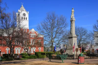
Henry County, Georgia, located just south and west of Atlanta, is seeking public comment on an update of its 30-year Transit Master Plan (TMP), according to an article published by the Henry County Times.
According to a presentation available online, the county is updating the TMP to account for population and employment growth in the county and to keep pace with transit innovations and policy changes in the wider region in recent years. The process is just getting underway, with a final TMP expected by September 2021.
Leon Stafford provides additional news coverage of the Henry County Transit Master Plan Update in a potentially paywalled article for the Atlanta Journal-Constitution.
"The county, the second fastest growing in the area, is talking transit because of changing demographics and a population with needs that may not be easily met with cars," according to Stafford.
"Henry also has struggled with increasing road congestion from infrastructure that hasn’t been able to keep up with its growth. In addition, a burgeoning warehousing industry has resulted in truck bottlenecks." Stafford reported in January on the county's decision to implement a moratorium on warehouse development, which have accounted for 35 percent of the county's growth over the last decade and a half.
Read the full story: Henry County to host transit plan virtual meeting
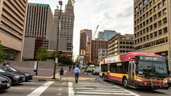
Central Maryland Regional Transit Plan: First Regional Transit Plan for Baltimore Since 2002
Transit planners in the Baltimore area are working on plans for a more reliable, useful regional transit system.
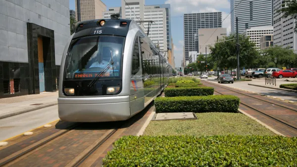
The Devil's in the Details for Houston's Hobby Line Light Rail Planning
Several alternative routes are still under consideration for a planned light rail route included in Houston's METRONext long-range transit plan, in progress ahead of a vote by residents in November.

Draft Comprehensive Plan Published for Deschutes County, Oregon
Deschutes County is working on a new comprehensive plan that will chart land use for the Central Oregon county for the next 20 years.
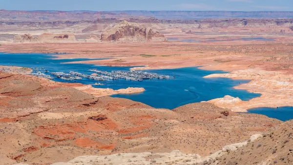
Desperate measures: Advocates weigh draining Lake Powell to fill Colorado River
Draining the reservoir could reduce evaporation losses by a couple hundred thousand acre-feet.

Eastern Nebraska is running out of electricity
Data centers and electrification are straining eastern Nebraska’s grid, throttling economic development.

Malls are becoming the midtowns of the future
Mall and office park redevelopments are a generational opportunity to create new nodes of urbanity.

NYC breaks ground on anti-flooding infrastructure project
New York City's new system will reduce stormwater flows to local sewers by 90%.

One Kentucky town’s secret to affordable housing
The Smoketown Community Land Trust has already built seven affordable homes for community members.

Houston gains petal-shaped cooling infrastructure to make streets more ‘delightful’
The city has installed the pavilions along 15 blocks in Houston.

FREE Course: Walkable City 1: Why Walkability?
After describing his path towards focusing on walkability as the essence of good planning, Jeff Speck marches through his five principal reasons for making more walkable places.
Reinventing Malls: Planning Alchemy—Turning Gray Fields Into Gold
The course focuses on the opportunities and imperatives that shape reinvention of mall sites.

City of Rosemead
Rutgers University, Edward J. Bloustein School of Planning and Public Policy
One Hundred Miles
University of Michigan School for Environment and Sustainability (SEAS)
Hunter College, City University of New York (CUNY)
The Architects Foundation
City of Cambridge
Montrose County
The Pocatello Development Authority