


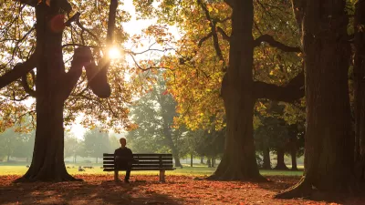
The country’s history of racist and segregationist housing policies is affecting vulnerable low-income communities of color that are bearing the brunt of climate change impacts.

"In cities like Baltimore, Dallas, Denver, Miami, Portland and New York, neighborhoods that are poorer and have more residents of color can be 5 to 20 degrees Fahrenheit hotter in summer than wealthier, whiter parts of the same city," report Brad Plumer and Nadja Popovich.
The links between these disparities in urban temperatures and the history of redlining are becoming more apparent. Redlined neighborhoods, which tend to be lower-income communities of color, also have fewer trees, less green space, and more concrete and asphalt.
Digitized redlining maps clearly show the overlap with hotter weather and the legacy of racial inequality that continues to the present day. Plumer and Popovich say the pattern of extreme heat in formerly redlined areas is consistent in cities across the country but each urban area has its own story to tell:
In Denver, formerly redlined neighborhoods tend to have more Hispanic than Black residents today, but they remain hotter: parks were intentionally placed in whiter, wealthier neighborhoods that then blocked construction of affordable housing nearby even after racial segregation was banned. In Baltimore, polluting industries were more likely to be located near communities of color. In Portland, zoning rules allowed multifamily apartment buildings to cover the entire lot and be built without any green space, a practice the city only recently changed.
As cities recognize the relationship between heat and racial equity, many are taking steps to broaden their climate and master plans. Increasing tree canopies, expanding green space, and improving flood protection in these communities are examples of goals and initiatives cities are planning to start addressing these long-standing inequalities.
FULL STORY: How Decades of Racist Housing Policy Left Neighborhoods Sweltering

‘Smart Surfaces’ Policy Guide Offers Advice for Building and Maintaining Urban Tree Canopies
Healthy, robust tree canopies can reduce the impacts of extreme heat and improve air quality.
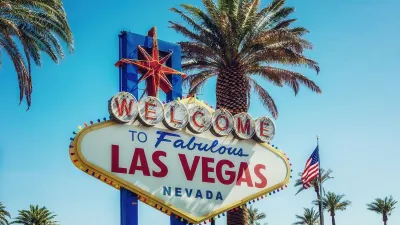
Planting Relief: Tackling Las Vegas Heat One Tree at a Time
Nevada Plants, a Las Vegas-based nonprofit, is combating the city’s extreme urban heat by giving away trees to residents in underserved neighborhoods, promoting shade, sustainability, and community health.
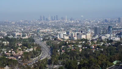
Updating LA’s Tree Rules Could Bring More Shade to Underserved Neighborhoods
A new USC study finds that relaxing Los Angeles’ outdated tree planting guidelines could significantly expand urban tree canopy and reduce shade disparities in lower-income neighborhoods, though infrastructure investments are also needed.

Planetizen Federal Action Tracker
A weekly monitor of how Trump’s orders and actions are impacting planners and planning in America.

Map: Where Senate Republicans Want to Sell Your Public Lands
For public land advocates, the Senate Republicans’ proposal to sell millions of acres of public land in the West is “the biggest fight of their careers.”

Restaurant Patios Were a Pandemic Win — Why Were They so Hard to Keep?
Social distancing requirements and changes in travel patterns prompted cities to pilot new uses for street and sidewalk space. Then it got complicated.

Platform Pilsner: Vancouver Transit Agency Releases... a Beer?
TransLink will receive a portion of every sale of the four-pack.

Toronto Weighs Cheaper Transit, Parking Hikes for Major Events
Special event rates would take effect during large festivals, sports games and concerts to ‘discourage driving, manage congestion and free up space for transit.”

Berlin to Consider Car-Free Zone Larger Than Manhattan
The area bound by the 22-mile Ringbahn would still allow 12 uses of a private automobile per year per person, and several other exemptions.
Urban Design for Planners 1: Software Tools
This six-course series explores essential urban design concepts using open source software and equips planners with the tools they need to participate fully in the urban design process.
Planning for Universal Design
Learn the tools for implementing Universal Design in planning regulations.
Heyer Gruel & Associates PA
JM Goldson LLC
Custer County Colorado
City of Camden Redevelopment Agency
City of Astoria
Transportation Research & Education Center (TREC) at Portland State University
Camden Redevelopment Agency
City of Claremont
Municipality of Princeton (NJ)