


San Francisco is planning for new population growth and new housing developments on the West Side of the city, and is also expecting high quality public transit to fill the mobility needs of current and future residents.
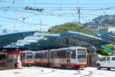
Joe Fitzgerald Rodriguez reports on "plans to dig a new subway tunnel between West Portal and Parkmerced on the West Side of San Francisco."
The San Francisco County Transportation Authority recently approved nearly a million dollars in funding to study the idea, which would accelerate change already coming to a currently "sleepy" area of the city.
"[San Francisco Board of Supervisors President Norman Yee] told the San Francisco Examiner that Parkmerced and other neighborhoods he represents will soon see thousands of housing units built — at Parkmerced, at San Francisco State University and perhaps by Stonestown Galleria — necessitating more transit for perhaps 20,000 new residents as well as thousands of current ones," reports Rodriguez.
The article includes more details on the planning efforts for Muni subways in the area leading up to the current study, the expected development of housing and student housing in the area, and the preliminary responses from businesses in the area (i.e., surprisingly supportive).
FULL STORY: SF’s newest subway may emerge on the West Side

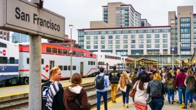
'100-Year Decision': First Approval for Train Route to S.F.'s Salesforce Transit Center
John Rahaim, director of the San Francisco Planning Department, calls the decision to route Caltrain to the newly opened Salesforce Transit center a "100-year decision."

Long Delayed, $1.95 Billion Central Subway Opens in San Francisco
San Francisco’s first north-south subway opened last weekend, extending service on Muni’s T light rail line.

The Imagined Bay Area of 2070: Affordable, Equitable, Prosperous
An opinion published recently by the San Francisco Chronicle offers a provocative thought exercise: How did the Bay Area of 2070 achieve affordability, equity, sustainability and adaptation in the face of climate change, and new levels of prosperity?

Maui's Vacation Rental Debate Turns Ugly
Verbal attacks, misinformation campaigns and fistfights plague a high-stakes debate to convert thousands of vacation rentals into long-term housing.

Planetizen Federal Action Tracker
A weekly monitor of how Trump’s orders and actions are impacting planners and planning in America.

In Urban Planning, AI Prompting Could be the New Design Thinking
Creativity has long been key to great urban design. What if we see AI as our new creative partner?

King County Supportive Housing Program Offers Hope for Unhoused Residents
The county is taking a ‘Housing First’ approach that prioritizes getting people into housing, then offering wraparound supportive services.

Researchers Use AI to Get Clearer Picture of US Housing
Analysts are using artificial intelligence to supercharge their research by allowing them to comb through data faster. Though these AI tools can be error prone, they save time and housing researchers are optimistic about the future.

Making Shared Micromobility More Inclusive
Cities and shared mobility system operators can do more to include people with disabilities in planning and operations, per a new report.
Urban Design for Planners 1: Software Tools
This six-course series explores essential urban design concepts using open source software and equips planners with the tools they need to participate fully in the urban design process.
Planning for Universal Design
Learn the tools for implementing Universal Design in planning regulations.
planning NEXT
Appalachian Highlands Housing Partners
Mpact (founded as Rail~Volution)
City of Camden Redevelopment Agency
City of Astoria
City of Portland
City of Laramie