


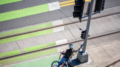
Washington, D.C., is not meeting its Vision Zero goals. Three proposed bills would put requirements in place to make traffic safety a priority.

A bill introduced last week would bolster Vision Zero efforts in Washington, D.C., reports Caitlin Rogger. It focuses on better infrastructure, stronger enforcement of existing laws, and planning to reduce auto travel. Two additional proposed bills would improve traffic safety by requiring curb extensions to protect pedestrians and mandating that the district’s written driving test include questions about biking-related laws.
The Vision Zero bill also requires that the District Department of Transportation update the transportation plan every two years and work to improve street safety and shift commuters from driving to transit, biking, and walking. "The provision to plan for 50% of commutes by public transit and 25% by riding bicycles or walking by 2032 are particularly encouraging, as they reflect the kind of paradigm shift needed to meet equity, sustainability, and safety goals on a broader scale," notes Rogger.
Washington, D.C., is behind in reaching its Vision Zero goals. The plan was introduced in 2014, but the number of fatalities last year was the highest in a decade. "Advocates have been saying for years that DC’s leadership would have to make eliminating traffic-related deaths a much higher priority to make any progress," writes Rogger.
FULL STORY: Three new bills aim to make DC streets safer

Audit: Portland’s Vision Zero Needs More Data, Funding
A city audit found that the program has failed to reduce traffic deaths and could benefit from a more systematic approach. Meanwhile, PBOT says it needs more state funding to support road safety projects.

How “Proven Safety Countermeasures” Save Lives
A bill named in honor of a U.S. diplomat killed while on her bicycle would let state DOTs access full federal funding for road safety projects.
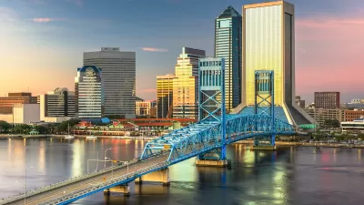
Jacksonville Takes Action on Vision Zero
The city is implementing its first-ever Vision Zero Action Plan in an effort to reduce pedestrian and cyclist deaths and serious injuries.

Maui's Vacation Rental Debate Turns Ugly
Verbal attacks, misinformation campaigns and fistfights plague a high-stakes debate to convert thousands of vacation rentals into long-term housing.

Planetizen Federal Action Tracker
A weekly monitor of how Trump’s orders and actions are impacting planners and planning in America.

In Urban Planning, AI Prompting Could be the New Design Thinking
Creativity has long been key to great urban design. What if we see AI as our new creative partner?

King County Supportive Housing Program Offers Hope for Unhoused Residents
The county is taking a ‘Housing First’ approach that prioritizes getting people into housing, then offering wraparound supportive services.

Researchers Use AI to Get Clearer Picture of US Housing
Analysts are using artificial intelligence to supercharge their research by allowing them to comb through data faster. Though these AI tools can be error prone, they save time and housing researchers are optimistic about the future.

Making Shared Micromobility More Inclusive
Cities and shared mobility system operators can do more to include people with disabilities in planning and operations, per a new report.
Urban Design for Planners 1: Software Tools
This six-course series explores essential urban design concepts using open source software and equips planners with the tools they need to participate fully in the urban design process.
Planning for Universal Design
Learn the tools for implementing Universal Design in planning regulations.
planning NEXT
Appalachian Highlands Housing Partners
Mpact (founded as Rail~Volution)
City of Camden Redevelopment Agency
City of Astoria
City of Portland
City of Laramie