A stakeholder group hopes to create a pedestrian- and business-friendly streetscape in Downtown Seattle.


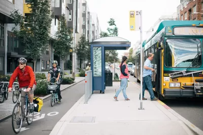
The Downtown Seattle Association has put forth several versions of a vision to transform Third Avenue—a busy corridor that sits at the center of the city's work to update its Transit Master Plan and implement its One Center City framework.
More than 52,000 passengers ride buses along Third Avenue every day. But over the next few years, the opening of the East Link, Lynnwood Link, and Federal Way Link light rail extensions might draw some of those riders away. In anticipation, the Downtown Seattle Association hopes to refocus Third Avenue bus service on connections to rail, as well as to reduce overall street space for both autos and buses (while preserving bus-only lanes) to provide more sidewalk space for retail.
In The Urbanist, Stephen Fesler compares several concepts put forth by the association, analyzing their advantages and drawbacks and including renderings. All proposals consider urban design, public space, activating ground-floor spaces, transportation operations, and long-term public-private management of the corridor. Any adopted plan would likely be phased in through 2035.
Read the full story: Downtown Seattle Association Envisions A New Multimodal Third Avenue

Cycletracks and Other Improvements Coming Soon to Downtown Los Angeles
Improvements funded by the developer of the 73-story Wilshire Grand project will make Downtown Los Angeles' main thoroughfare a better place to walk, bike, and use public transit.
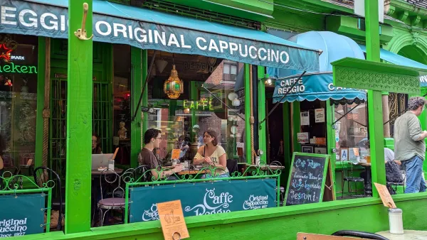
From SoHo to SoDoSoPa
How zoning made great neighborhoods illegal to build, and preordained gentrification.
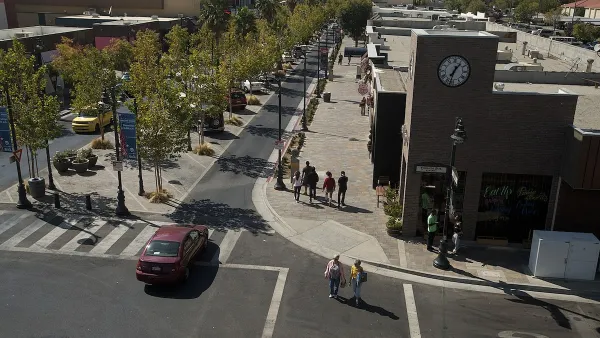
The Vast Potential of the Right-of-Way
One writer argues that the space between two building faces is the most important element of the built environment.

Planetizen Federal Action Tracker
A weekly monitor of how Trump’s orders and actions are impacting planners and planning in America.

California plans to bury El Niño’s downpour
If the state plays its cards right, it may be able to store a billion acre-feet of El Niño’s water in aquifers.

Chicago breaks ground on $3 billion megadevelopment
The new neighborhood, titled Foundry Park, will one day host 3,700 residences.

Satanic place names
From streams and lakes to valleys and canyons, I mapped more than 1,000 places named after the Devil.

California High-Speed Rail Authority CEO resigns after $600,000 scandal
Under Ian Choudri, the authority used taxpayer dollars to fund first class flights and trips to nightclubs.

Want to study the Missouri River? Soon, you may need unanimous approval from 10 states
Legislation would require 10 governors’ permission to study or build projects moving water outside the basin.

FREE Course: Walkable City 1: Why Walkability?
After describing his path towards focusing on walkability as the essence of good planning, Jeff Speck marches through his five principal reasons for making more walkable places.
Reinventing Malls: Planning Alchemy—Turning Gray Fields Into Gold
The course focuses on the opportunities and imperatives that shape reinvention of mall sites.

City of Rosemead
Rutgers University, Edward J. Bloustein School of Planning and Public Policy
One Hundred Miles
Hunter College, City University of New York (CUNY)
The Architects Foundation
University of Cincinnati Online
City of Cambridge
Montrose County
The Pocatello Development Authority