


To ensure funding for the LBJ East, Texas Transportation Commission officials might take three other major highway projects off the table.
"The anger and frustration of motorists stuck on LBJ Freeway may soon spread to users of a trio of other crowded North Texas roadways," reports Ray Lesczynski.
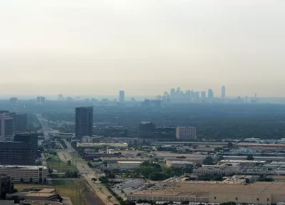
That's because "[f]unds to improve three highway logjams are being used as collateral to persuade the Texas Transportation Commission to build LBJ East, the 10.8 miles of Interstate 635 between Interstate 30 and Central Expressway that has been deemed the region's top transportation project."
The three projects being leveraged for the sake of the LBJ East: a bridge over Lake Ray Hubbard on Interstate 30, Interstate 35E between LBJ and the Denton County line, and U.S. Highway 80 east toward Kaufman County.
The article includes soundbites from politicians backing each of the projects, and the land use and development context driving the case for each project. "Most North Texas county officials don't dispute the need for LBJ East or the project's status as the region's top priority," explains Lesczynski. "But they resent state leaders for taking North Texas' funding solution — two tolled (managed) lanes in each direction — off the table."
FULL STORY: With $2.5 billion in backed-up highway projects, North Texans turn up the heat on Austin

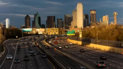
The City of Dallas Rejects the State of Texas on Plans to Widen Interstate 30
A plan to widen the Interstate 30 in Dallas is pitting state transportation officials, with ostensible goals to serve regional transportation needs, against local officials, who are more concerned with "neighborhood-centric ideals."
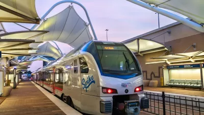
North Texas Transportation Council Advocates for Road Safety, Rail Projects
The North Texas Regional Transportation Council issued a series of recommendations for state legislators that include more support for road safety projects and high-speed rail.
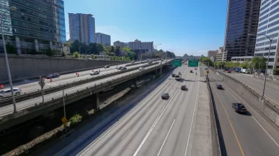
$10 Billion Approved for Highway Funding in Washington State
Despite the drastic funding limitation imposed by Washington's voter-approved Initiative 976, the state found a way to fund $10.4 billion in (mostly highway) transportation projects.

Planetizen Federal Action Tracker
A weekly monitor of how Trump’s orders and actions are impacting planners and planning in America.

Map: Where Senate Republicans Want to Sell Your Public Lands
For public land advocates, the Senate Republicans’ proposal to sell millions of acres of public land in the West is “the biggest fight of their careers.”

Restaurant Patios Were a Pandemic Win — Why Were They so Hard to Keep?
Social distancing requirements and changes in travel patterns prompted cities to pilot new uses for street and sidewalk space. Then it got complicated.

Platform Pilsner: Vancouver Transit Agency Releases... a Beer?
TransLink will receive a portion of every sale of the four-pack.

Toronto Weighs Cheaper Transit, Parking Hikes for Major Events
Special event rates would take effect during large festivals, sports games and concerts to ‘discourage driving, manage congestion and free up space for transit.”

Berlin to Consider Car-Free Zone Larger Than Manhattan
The area bound by the 22-mile Ringbahn would still allow 12 uses of a private automobile per year per person, and several other exemptions.
Urban Design for Planners 1: Software Tools
This six-course series explores essential urban design concepts using open source software and equips planners with the tools they need to participate fully in the urban design process.
Planning for Universal Design
Learn the tools for implementing Universal Design in planning regulations.
Heyer Gruel & Associates PA
JM Goldson LLC
Custer County Colorado
City of Camden Redevelopment Agency
City of Astoria
Transportation Research & Education Center (TREC) at Portland State University
Camden Redevelopment Agency
City of Claremont
Municipality of Princeton (NJ)