The peak tolls achieved during the first week of operation of the new HOT lanes on I-66 in Virginia raised eyebrows this week. Here's a closer look at the data behind the new system.


Mike Grinnell takes a deep dive into the data behind the I-66 express lane system that went into operation this week, making headlines for charging $40 to access the new HOT lanes during the Tuesday morning peak period.
First, Grinnell makes clear the changes this week on I-66:
A few things changed for drivers with the introduction of these new HOT lanes, but the biggest change was for single-occupancy vehicle drivers. Previously they were restricted from driving on I-66 eastbound between 6:30 am and 9:00 am and westbound between 4:00 pm and 6:30 pm. Outside of these time restrictions, they were free to access the roads anytime.
Then, Grinnell compares the actual toll prices to the estimates prepared by the Virginia Department of Transportation two years ago when planning the HOT lane system. Despite the eye-popping figures picked up by news outlets around the country (including us), the numbers did hold pretty close to the original estimates.
By taking a closer look at the numbers, Grinnell is also able to pull a couple early lessons from the system, including when driving is most expensive and insight into how dynamic pricing works. Grinnell also reminds readers that the tolls will pay for the installation and upkeep of the tolling system in addition to multi-modal transportation improvements like bus service, park-n-ride facilities, improvements to Metro, and road improvements.
Read the full story: After the outcry over the $40 tolls on I-66, this solo driver crunched the numbers

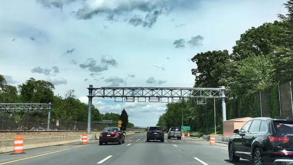
New Tolls on I-66 in Virginia Hit $40 on Day Two
The idea behind congestion pricing is to create at least some disincentive for driving. The new tolls I-66, which reached $34.50 on Monday and $40 on Tuesday, are certainly accomplishing that goal.
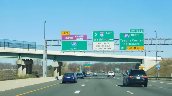
As Tolls Increase, Vehicle Trips Decrease on Dynamically Priced Express Lanes
When tolls rise on the 66 Express Lanes, trips decrease. according to a new report by the Virginia Department of Transportation.
Capitalism at Work on an Interstate Highway
Traffic speeds during the peak eastbound commute on the 66 Express Lanes Inside the Beltway have dropped to 35 mph. "Toll-tweaking" and changing the algorithm are achieving limited success on this dynamically-tolled stretch.

Planetizen Federal Action Tracker
A weekly monitor of how Trump’s orders and actions are impacting planners and planning in America.

California plans to bury El Niño’s downpour
If the state plays its cards right, it may be able to store a billion acre-feet of El Niño’s water in aquifers.

Chicago breaks ground on $3 billion megadevelopment
The new neighborhood, titled Foundry Park, will one day host 3,700 residences.

California High-Speed Rail Authority CEO resigns after $600,000 scandal
Under Ian Choudri, the authority used taxpayer dollars to fund first class flights and trips to nightclubs.

Want to study the Missouri River? Soon, you may need unanimous approval from 10 states
Legislation would require 10 governors’ permission to study or build projects moving water outside the basin.

Desperate measures: Advocates weigh draining Lake Powell to fill Colorado River
Draining the reservoir could reduce evaporation losses by a couple hundred thousand acre-feet.

FREE Course: Walkable City 1: Why Walkability?
After describing his path towards focusing on walkability as the essence of good planning, Jeff Speck marches through his five principal reasons for making more walkable places.
Reinventing Malls: Planning Alchemy—Turning Gray Fields Into Gold
The course focuses on the opportunities and imperatives that shape reinvention of mall sites.

City of Rosemead
Rutgers University, Edward J. Bloustein School of Planning and Public Policy
One Hundred Miles
Hunter College, City University of New York (CUNY)
The Architects Foundation
University of Cincinnati Online
City of Cambridge
Montrose County
The Pocatello Development Authority