


What does the way transit commuters move say about their city?
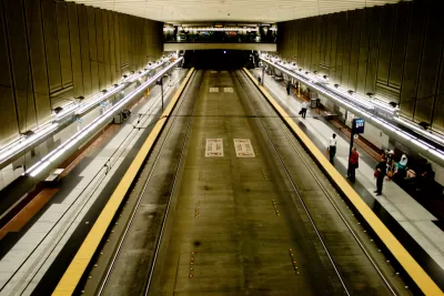
Stephen Hudson has taken ridership data (i..e, unlinked passenger trips) from the Federal Transit Administration and transformed it into an infographic that shows the preferred transit modes in nine U.S. metropolitan areas with high numbers of transit commuters.
The data allows a comparison of transit mode choice between bus, commuter rail, ferry boats, heavy rail, light rail, and other, less common modes of transit. The graph compares Baltimore, Boston, Chicago, Los Angeles, New York, Philadelphia, San Francisco, Seattle, and Washington, D.C.
"Of these nine metropolitan areas, buses are the most heavily use mode of transit in six of the areas, while heavy rail are most popular only in New York, Washington, and Boston," explains Hudson of one of the findings made clear by the infographic. The article includes more analysis of the transit data, including a specific focus on the Washington, D.C. area.
FULL STORY: Here are the most popular forms of transit in different cities


New Questions Around Portland-Area Light Rail Project
A proposed rail line would run from downtown Portland, Oregon, to the suburbs. The budget has increased significantly, and many funding and project scope questions remain.
Infographic: Incomes Along Los Angeles Metro Lines
As Los Angeles weighs the merits of more major funding for Metro Rail projects, the current slate of new routes is already coming online. This graphic depicts median household incomes along existing and future rail lines.
$77 Billion Needed to Fix U.S. Transit
A new study by the Federal Transit Administration sets the price tag for getting the U.S.'s transit infrastructure up to snuff at 77.7 billion dollars.

Maui's Vacation Rental Debate Turns Ugly
Verbal attacks, misinformation campaigns and fistfights plague a high-stakes debate to convert thousands of vacation rentals into long-term housing.

Planetizen Federal Action Tracker
A weekly monitor of how Trump’s orders and actions are impacting planners and planning in America.

San Francisco Suspends Traffic Calming Amidst Record Deaths
Citing “a challenging fiscal landscape,” the city will cease the program on the heels of 42 traffic deaths, including 24 pedestrians.

Adaptive Reuse Will Create Housing in a Suburban Texas Strip Mall
A developer is reimagining a strip mall property as a mixed-use complex with housing and retail.

Study: Anti-Homelessness Laws Don’t Work
Research shows that punitive measures that criminalized unhoused people don’t help reduce homelessness.

In U.S., Urban Gondolas Face Uphill Battle
Cities in Latin America and Europe have embraced aerial transitways — AKA gondolas — as sustainable, convenient urban transport, especially in tricky geographies. American cities have yet to catch up.
Urban Design for Planners 1: Software Tools
This six-course series explores essential urban design concepts using open source software and equips planners with the tools they need to participate fully in the urban design process.
Planning for Universal Design
Learn the tools for implementing Universal Design in planning regulations.
Heyer Gruel & Associates PA
JM Goldson LLC
Custer County Colorado
City of Camden Redevelopment Agency
City of Astoria
Transportation Research & Education Center (TREC) at Portland State University
Jefferson Parish Government
Camden Redevelopment Agency
City of Claremont