


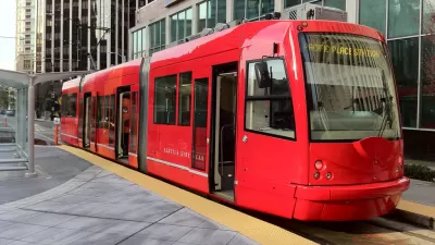
Can an expansion of Seattle's streetcar system somehow outperform its previous iterations, and all other public transit modes in the city?
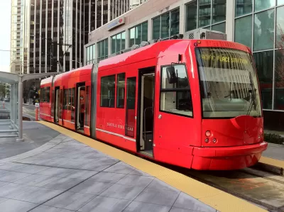
Critics are pushing back on the financial plan for 1.2-mile Center City Connector streetcar line that will run along First Avenue, according to an article in the Seattle Times.
According to David Gutman, planners are expecting a newly expanded streetcar along First Avenue to generate revenue from the fare box to cover 56 percent of the system's operating costs.
That would require a serious improvement on fare recovery on all other modes in the region. "Your fares cover about 40 percent of operating costs for Sound Transit’s Link light rail. Fares cover about 31 percent of the cost of King County Metro buses. Seattle’s two streetcar lines cover 23 percent of their costs with fares," writes Gutman.
The article includes a direct statement about the financial projections from Seattle City Councilmember Lisa Herbold, as well as other indications that staff outside the Seattle Department of Transportation doubt whether the new streetcar is going to as popular as assumed. Gutman provides a lot more detail about the plan for the streetcar expansion, which is expected to cost $177 million and break ground early in October 2017.
For the record, the Center City Connector has recovered from reports of its demise late in 2016.
FULL STORY: Seattle to spend $177M on new streetcar line amid questions about ‘unrealistic’ revenue, rider projections

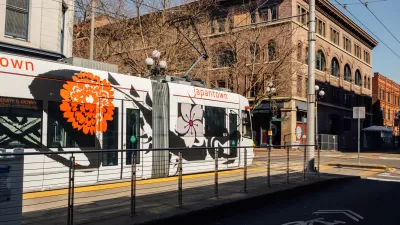
Seattle Streetcar Extension Looks Unlikely to Proceed
A proposal to extend the First Hill Streetcar along Broadway in Capitol Hill has lost the support of some of its key stakeholders and now looks very much in doubt.
Feasibility Study for Proposed Seattle Streetcar Loses Funding
The $1 million cut doesn’t bode well for the beleaguered project, which some city councilmembers see as redundant and overpriced.
New Seattle Streetcars Begin Tests
The First Hill line's streetcars are set to begin service in summer of 2015, and the city is already assembling funds for an extension.

Rethinking Redlining
For decades we have blamed 100-year-old maps for the patterns of spatial racial inequity that persist in American cities today. An esteemed researcher says: we’ve got it all wrong.

Montreal Mall to Become 6,000 Housing Units
Place Versailles will be transformed into a mixed-use complex over the next 25 years.

Planetizen Federal Action Tracker
A weekly monitor of how Trump’s orders and actions are impacting planners and planning in America.

Santa Clara County Dedicates Over $28M to Affordable Housing
The county is funding over 600 new affordable housing units via revenue from a 2016 bond measure.

Why a Failed ‘Smart City’ Is Still Relevant
A Google-backed proposal to turn an underused section of Toronto waterfront into a tech hub holds relevant lessons about privacy and data.

When Sears Pioneered Modular Housing
Kit homes sold in catalogs like Sears and Montgomery Ward made homeownership affordable for midcentury Americans.
Urban Design for Planners 1: Software Tools
This six-course series explores essential urban design concepts using open source software and equips planners with the tools they need to participate fully in the urban design process.
Planning for Universal Design
Learn the tools for implementing Universal Design in planning regulations.
City of Camden Redevelopment Agency
City of Astoria
Transportation Research & Education Center (TREC) at Portland State University
Regional Transportation Commission of Southern Nevada
Toledo-Lucas County Plan Commissions