


Changes to the BRTData.org criteria means fewer systems and corridors are considered to bus rapid transit.
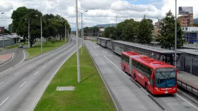
Paula Tanscheit and Virginia Tavares report that BRTData.org, the most comprehensive online database of bus rapid transit in the world, has updated its criteria to "align its corridor definition with the benchmarks and quality standards established by the Institute for Transportation and Development Policy." As BRTData.org has grown, "a need to establish stricter quality standards has become apparent," according to the article. The hope in making the change is also to do a better job evaluating quality of service.
Following their recommendations, from now on, BRT corridors will be defined as one or more contiguous lanes served by one or multiple bus lines with a minimum length of three kilometers that has segregated or exclusive bus lanes. If the segregated lane is aligned to the curb, at least one of the following elements must be present: (1) prepayment of the tariff; (2) priority traffic signaling; (3) a boarding level or (4) a unique brand and logo.
Those changes mean 96 systems and corridors previously in the database are no longer included, although the post stops short of calling them out by name.
FULL STORY: BRTData Enhances Indicators to Improve Accuracy and Comparisons

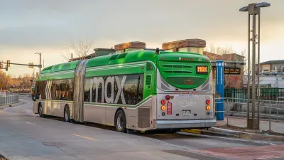
Colorado Lawmakers Move to Protect BRT Funding
In the face of potential federal funding cuts, CDOT leaders reasserted their commitment to planned bus rapid transit projects.
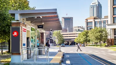
Indianapolis Receives FTA Grant for New BRT Line
The Blue Line will be the third bus rapid transit corridor in the city.

Central Ohio Voters Pass Transit Levy
The new sales tax will fund improved bus service, rapid transit projects, and ‘transit -supportive’ infrastructure.

Maui's Vacation Rental Debate Turns Ugly
Verbal attacks, misinformation campaigns and fistfights plague a high-stakes debate to convert thousands of vacation rentals into long-term housing.

Planetizen Federal Action Tracker
A weekly monitor of how Trump’s orders and actions are impacting planners and planning in America.

In Urban Planning, AI Prompting Could be the New Design Thinking
Creativity has long been key to great urban design. What if we see AI as our new creative partner?

King County Supportive Housing Program Offers Hope for Unhoused Residents
The county is taking a ‘Housing First’ approach that prioritizes getting people into housing, then offering wraparound supportive services.

Researchers Use AI to Get Clearer Picture of US Housing
Analysts are using artificial intelligence to supercharge their research by allowing them to comb through data faster. Though these AI tools can be error prone, they save time and housing researchers are optimistic about the future.

Making Shared Micromobility More Inclusive
Cities and shared mobility system operators can do more to include people with disabilities in planning and operations, per a new report.
Urban Design for Planners 1: Software Tools
This six-course series explores essential urban design concepts using open source software and equips planners with the tools they need to participate fully in the urban design process.
Planning for Universal Design
Learn the tools for implementing Universal Design in planning regulations.
planning NEXT
Appalachian Highlands Housing Partners
Mpact (founded as Rail~Volution)
City of Camden Redevelopment Agency
City of Astoria
City of Portland
City of Laramie