


In short, transit wasn't really there. When transportation network services went down, people felt stranded. Transit friendliness can go a long way.
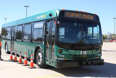
In a Medium piece, the folks behind the Transit app discuss why the transportation conversation at South by Southwest focused only on rideshare. "SXSWers were bereft of their beloved ridesharing services, forced to wait for cabs in the rain with 'no alternatives'. We racked our brains for a possible solution. We think we found it: Fixed-route ridesharing."
In other words, transit. But in central Austin, transit is sparse and hard to use compared with other central cities. Changing that could shift the narrative at future festivals. "Our data suggests that there's an exponential relationship between 'transit friendliness' and the number of trips that actually get taken. Basically what that means is that by making a destination a bit more transit friendly you end up getting a lot more people taking transit."
The tradeoff between transportation network companies and transit should (in theory at least) depend on the type of urban landscape you're traversing. "Ridesharing is easy and convenient. It's a fantastic complement to public transit. But it shouldn't be the default mobility choice in the downtown core of a big American city."
FULL STORY: The media focused on the wrong thing during SXSW

Austin Hopes to Buck Tradition with Anti-Gentrification Measures in its New Transit Plan
Project Connect promises to prioritize equity and inclusion with $300 million dedicated to anti-displacement efforts.
Uber App Feature Integrates Transit and Ridesharing
Uber’s "Make My Train" app feature lets riders better plan journeys across modes.
Via Rideshare Service Expands in Chicago
The company hopes that a broader service area and discounted rides will help people better access transit services.

Planetizen Federal Action Tracker
A weekly monitor of how Trump’s orders and actions are impacting planners and planning in America.

Map: Where Senate Republicans Want to Sell Your Public Lands
For public land advocates, the Senate Republicans’ proposal to sell millions of acres of public land in the West is “the biggest fight of their careers.”

Restaurant Patios Were a Pandemic Win — Why Were They so Hard to Keep?
Social distancing requirements and changes in travel patterns prompted cities to pilot new uses for street and sidewalk space. Then it got complicated.

California Homeless Arrests, Citations Spike After Ruling
An investigation reveals that anti-homeless actions increased up to 500% after Grants Pass v. Johnson — even in cities claiming no policy change.

Albuquerque Route 66 Motels Become Affordable Housing
A $4 million city fund is incentivizing developers to breathe new life into derelict midcentury motels.

DC Area County Eliminates Bus Fares
Montgomery County joins a growing trend of making transit free.
Urban Design for Planners 1: Software Tools
This six-course series explores essential urban design concepts using open source software and equips planners with the tools they need to participate fully in the urban design process.
Planning for Universal Design
Learn the tools for implementing Universal Design in planning regulations.
Heyer Gruel & Associates PA
JM Goldson LLC
Custer County Colorado
City of Camden Redevelopment Agency
City of Astoria
Transportation Research & Education Center (TREC) at Portland State University
Camden Redevelopment Agency
City of Claremont
Municipality of Princeton (NJ)