


Public transit agencies don't normally get the kind of fine-grained location and navigation data made possible by tracking phones. London got temporary access to that info at the end of 2016, however.

James O'Malley reports on the results of a pilot project conducted at the end of 2016 in London: between November 21 and December 19, Transport for London (TfL) tracked the phone on anyone with a WiFi connection enabled while navigating the London Underground.
O'Malley got the first crack at the "utterly fascinating findings that the agency has been able to make from all of our data," while acknowledging that TfL has to justify the collection of all this data.
"Perhaps the number one reason to do the trial was to better understand the journeys that people actually make on the Tube," writes O'Malley in relaying the case made by officials at TfL. The new WiFi data, combined with existing sources of data, offers new insight into route tracking, in-station tracking, and, in a potentially more controversial use for the tracking, data for advertisers.
The first two benefits of the tracking should help with site and system planning efforts in the future, and O'Malley digs into some of the data shared by TfL to get an idea of how the data might improve planning efforts in the future.
FULL STORY: Here's What TfL Learned From Tracking Your Phone On the Tube

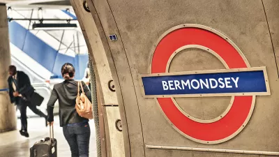
How London's Leading on Transit Data
Transport for London is forging ahead on several projects to collect and use more rider data. One initiative draws on WiFi connections to map users' paths through the London Underground.
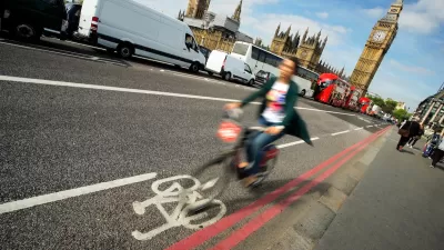
Biking in London Grew by 20 Percent Since 2019
Pandemic-induced changes and improved bike infrastructure have contributed to the impressive growth of cycling as a mode share.
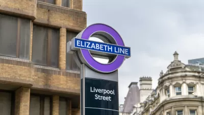
$22 Billion Elizabeth Line Finally Opens in London, With the Queen in Attendance
May 17, 2022 was a big day for transit in London.

Planetizen Federal Action Tracker
A weekly monitor of how Trump’s orders and actions are impacting planners and planning in America.

Maui's Vacation Rental Debate Turns Ugly
Verbal attacks, misinformation campaigns and fistfights plague a high-stakes debate to convert thousands of vacation rentals into long-term housing.

San Francisco Suspends Traffic Calming Amidst Record Deaths
Citing “a challenging fiscal landscape,” the city will cease the program on the heels of 42 traffic deaths, including 24 pedestrians.

Defunct Pittsburgh Power Plant to Become Residential Tower
A decommissioned steam heat plant will be redeveloped into almost 100 affordable housing units.

Trump Prompts Restructuring of Transportation Research Board in “Unprecedented Overreach”
The TRB has eliminated more than half of its committees including those focused on climate, equity, and cities.

Amtrak Rolls Out New Orleans to Alabama “Mardi Gras” Train
The new service will operate morning and evening departures between Mobile and New Orleans.
Urban Design for Planners 1: Software Tools
This six-course series explores essential urban design concepts using open source software and equips planners with the tools they need to participate fully in the urban design process.
Planning for Universal Design
Learn the tools for implementing Universal Design in planning regulations.
Heyer Gruel & Associates PA
JM Goldson LLC
Custer County Colorado
City of Camden Redevelopment Agency
City of Astoria
Transportation Research & Education Center (TREC) at Portland State University
Jefferson Parish Government
Camden Redevelopment Agency
City of Claremont