Public transit agencies don't normally get the kind of fine-grained location and navigation data made possible by tracking phones. London got temporary access to that info at the end of 2016, however.


James O'Malley reports on the results of a pilot project conducted at the end of 2016 in London: between November 21 and December 19, Transport for London (TfL) tracked the phone on anyone with a WiFi connection enabled while navigating the London Underground.
O'Malley got the first crack at the "utterly fascinating findings that the agency has been able to make from all of our data," while acknowledging that TfL has to justify the collection of all this data.
"Perhaps the number one reason to do the trial was to better understand the journeys that people actually make on the Tube," writes O'Malley in relaying the case made by officials at TfL. The new WiFi data, combined with existing sources of data, offers new insight into route tracking, in-station tracking, and, in a potentially more controversial use for the tracking, data for advertisers.
The first two benefits of the tracking should help with site and system planning efforts in the future, and O'Malley digs into some of the data shared by TfL to get an idea of how the data might improve planning efforts in the future.
Read the full story: Here's What TfL Learned From Tracking Your Phone On the Tube

How London's Leading on Transit Data
Transport for London is forging ahead on several projects to collect and use more rider data. One initiative draws on WiFi connections to map users' paths through the London Underground.
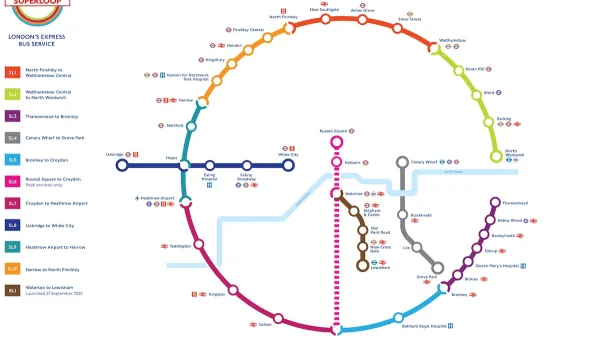
London’s Superloop BRT Ridership Grows by 20% While Other Bus Ridership Declines
The new rapid bus system launched its first suburban line, the first of 10 that will extend outside central London.
Biking in London Grew by 20 Percent Since 2019
Pandemic-induced changes and improved bike infrastructure have contributed to the impressive growth of cycling as a mode share.

Planetizen Federal Action Tracker
A weekly monitor of how Trump’s orders and actions are impacting planners and planning in America.

California plans to bury El Niño’s downpour
If the state plays its cards right, it may be able to store a billion acre-feet of El Niño’s water in aquifers.

Chicago breaks ground on $3 billion megadevelopment
The new neighborhood, titled Foundry Park, will one day host 3,700 residences.

California High-Speed Rail Authority CEO resigns after $600,000 scandal
Under Ian Choudri, the authority used taxpayer dollars to fund first class flights and trips to nightclubs.

Want to study the Missouri River? Soon, you may need unanimous approval from 10 states
Legislation would require 10 governors’ permission to study or build projects moving water outside the basin.

Desperate measures: Advocates weigh draining Lake Powell to fill Colorado River
Draining the reservoir could reduce evaporation losses by a couple hundred thousand acre-feet.

FREE Course: Walkable City 1: Why Walkability?
After describing his path towards focusing on walkability as the essence of good planning, Jeff Speck marches through his five principal reasons for making more walkable places.
Reinventing Malls: Planning Alchemy—Turning Gray Fields Into Gold
The course focuses on the opportunities and imperatives that shape reinvention of mall sites.

City of Rosemead
Rutgers University, Edward J. Bloustein School of Planning and Public Policy
One Hundred Miles
Hunter College, City University of New York (CUNY)
The Architects Foundation
University of Cincinnati Online
City of Cambridge
Montrose County
The Pocatello Development Authority