


There's a trend here.
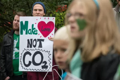
An article by Ronald Brownstein traces the connection between the 2016 political election and carbon emissions. It shouldn't be surprising that their would be a connection between the two, energy and environmental has always been a partisan issue and recently, "Trump has indelibly endorsed the fear that reducing carbon emissions to combat the destabilizing threat of global climate change will undermine economic growth," writes Brownstein.
To counter those fears, Brownstein references Brookings Institution research showing that "since 2000 the United States increased its economic output by 30 percent while reducing carbon emissions by 10 percent." Brownstein takes the next logical step and finds that some states, like Oklahoma and Texas, are still emitting a lot more than others. What's more, "that energy divide now almost perfectly tracks the current political divide."
Comparing the latest federal figures on states’ per capita carbon emissions with the 2016 election results produces a clear pattern. Trump carried all of the 22 states with the most per capita carbon emissions, except for New Mexico, and 27 of the top 32 in all. (Colorado, Illinois, Delaware, and Minnesota were the Clinton-voting exceptions.) The Democratic nominee won 15 of the 18 states with the lowest per capita emissions—with the exception of Florida, North Carolina, and Idaho.
Brownstein adds some demographic and cultural factors to this understanding to determine a very challenging road ahead for the Democrats to recover some of their lost political power ahead of the 2020 presidential election—even if the Trump Administration can do nothing to stem the decline of the carbon economy.
FULL STORY: How Carbon Emissions Explain Trump's Win

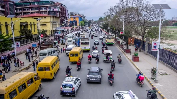
The Small South Asian Republic Going all in on EVs
Thanks to one simple policy change less than five years ago, 65% of new cars in this Himalayan country are now electric.
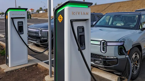
US Senate Reverses California EV Mandate
The state planned to phase out the sale of gas-powered cars by 2035, a goal some carmakers deemed impossible to meet.
How Planners Can Help Cut Corporate Carbon
Up to 75 percent or more of many companies’ greenhouse gas emissions come from activities impacted by urban planning. Like it or not, planners are key players in mitigation. Technology can help.

Planetizen Federal Action Tracker
A weekly monitor of how Trump’s orders and actions are impacting planners and planning in America.

San Francisco's School District Spent $105M To Build Affordable Housing for Teachers — And That's Just the Beginning
SFUSD joins a growing list of school districts using their land holdings to address housing affordability challenges faced by their own employees.

The Tiny, Adorable $7,000 Car Turning Japan Onto EVs
The single seat Mibot charges from a regular plug as quickly as an iPad, and is about half the price of an average EV.

Seattle's Plan for Adopting Driverless Cars
Equity, safety, accessibility and affordability are front of mind as the city prepares for robotaxis and other autonomous vehicles.

As Trump Phases Out FEMA, Is It Time to Flee the Floodplains?
With less federal funding available for disaster relief efforts, the need to relocate at-risk communities is more urgent than ever.

With Protected Lanes, 460% More People Commute by Bike
For those needing more ammo, more data proving what we already knew is here.
Urban Design for Planners 1: Software Tools
This six-course series explores essential urban design concepts using open source software and equips planners with the tools they need to participate fully in the urban design process.
Planning for Universal Design
Learn the tools for implementing Universal Design in planning regulations.
Smith Gee Studio
City of Charlotte
City of Camden Redevelopment Agency
City of Astoria
Transportation Research & Education Center (TREC) at Portland State University
US High Speed Rail Association
City of Camden Redevelopment Agency
Municipality of Princeton (NJ)