Los Angeles County's Community Parks and Recreation Plans (CPRPs) are an evolved methodology to process a broad range of data to better site and design community parks. CPRPs are explained by L.A. County park planner Clement Lau


Community Parks and Recreation Plans (CPRPs) represent Los Angeles County's latest approach for community-based park and recreation planning, writes L.A. County park planner Clement Lau. CPRPs should better plan parks in underserved communities in particular. They go beyond traditional park master plans by analyzing and addressing the park and greening needs of unincorporated communities in a comprehensive way that extends outside of the boundaries of existing parks. In particular, the CPRPs not only seek to improve existing parks, but they provide a roadmap to create new green spaces in non-traditional locations, make specific recommendations to increase the urban forestry, and advance local and regional sustainability goals. Also, the CPRPs are the products of extensive public outreach processes that not only included traditional public meetings, but involved partnerships with local community-based organizations and the application of various community engagement strategies, such as focus groups, stakeholder interviews, surveys, and tabling at community events.
Goals and criteria of CPRPs include:
- Address climate change through Greenhouse Gas (GHG) emission reduction or adaptation planning
- Preserve and enhance recreational areas
- Promote energy and/or water efficiency and savings
- Ensure environmental justice regardless of race, ethnicity, or income class
- Promote overall sustainability on various resources issues
- Better placemaking
- Lower cost to taxpayers & families
- Benefits to public health & the environment
- Greater responsiveness to demographics & changing housing market
- Improved access & mobility
Read the full story: Park Planning for Underserved Communities in Los Angeles County

Rural Parks Planning Underway in Los Angeles County
The Los Angeles County Department of Parks and Recreation is conducting a survey to better understand the park and recreation needs of rural areas.
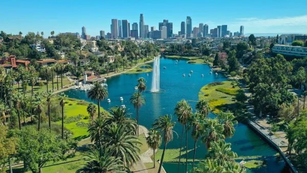
A Historic Investment in LA County’s Parks and Open Spaces
Los Angeles County has launched its largest-ever competitive grant program, investing $58 million to expand park access, enhance climate resilience, and support community-driven projects in the areas that need them most.

Using Data and Partnerships to Build Sports Facilities
Data and partnerships have supported the recent development and improvement of sports facilities in underserved communities in Los Angeles County.
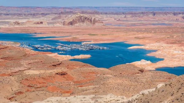
Desperate measures: Advocates weigh draining Lake Powell to fill Colorado River
Draining the reservoir could reduce evaporation losses by a couple hundred thousand acre-feet.

Eastern Nebraska is running out of electricity
Data centers and electrification are straining eastern Nebraska’s grid, throttling economic development.
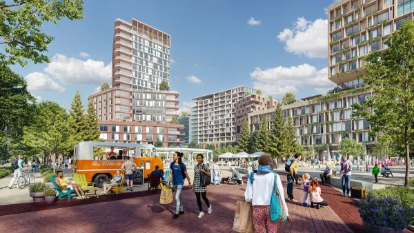
Malls are becoming the midtowns of the future
Mall and office park redevelopments are a generational opportunity to create new nodes of urbanity.

NYC breaks ground on anti-flooding infrastructure project
New York City's new system will reduce stormwater flows to local sewers by 90%.

One Kentucky town’s secret to affordable housing
The Smoketown Community Land Trust has already built seven affordable homes for community members.

Houston gains petal-shaped cooling infrastructure to make streets more ‘delightful’
The city has installed the pavilions along 15 blocks in Houston.

FREE Course: Walkable City 1: Why Walkability?
After describing his path towards focusing on walkability as the essence of good planning, Jeff Speck marches through his five principal reasons for making more walkable places.
Reinventing Malls: Planning Alchemy—Turning Gray Fields Into Gold
The course focuses on the opportunities and imperatives that shape reinvention of mall sites.

City of Rosemead
Rutgers University, Edward J. Bloustein School of Planning and Public Policy
One Hundred Miles
University of Michigan School for Environment and Sustainability (SEAS)
Hunter College, City University of New York (CUNY)
The Architects Foundation
City of Cambridge
Montrose County
The Pocatello Development Authority