


A new study quantifies the amount of space devoted to parking in Los Angeles County—a figure that just begs to be visualized.
A recently released study in the Journal of the American Planning Association did an inventory on parking spaces in Los Angeles County—tracking the proliferation of parking across the county between 1900 and 2010. The big headline of the post: 14 percent of incorporated land in Los Angeles County is committed to parking. A stand-alone website for the study provides an abstract, of sorts, for the study, showing heat maps of parking (residential offstreet, non-residential offstreet, and total) around the county at 20 year intervals beginning with 1950.
Blogger Shane Phillips followed on the study to coalesce the data provided by the study into a nifty infographic that drives the point home a little more clearly. Phillips images all of that parking as one large parking crater—16 miles in diameter and taking up an area spanning East L.A. to Santa Monica. In real life, the area inside that parking crater fits 2.3 million residents, 900,000 homes, and 1 million workers, according to Phillips's calculations.
FULL STORY: Mapped: All 200 Square Miles of Parking in LA County, As One Giant Parking Lot


How Cities Are Slimming Down on Parking
Cities around the world are finding ways to go on a parking diet, freeing up unused space. San Francisco and Philadelphia are two U.S. leaders, while cities like Paris, Copenhagen, and Zurich pursue even more aggressive measures.
Unlocking the Curb Conundrum: How to Solve Our Parking Crisis
For Alan Durning, curb-parking territoriality is the root cause of many of America's urban ills, from housing affordability to economic vitality. He describes the circumstances that've led to the current state of affairs and introduces the way out.
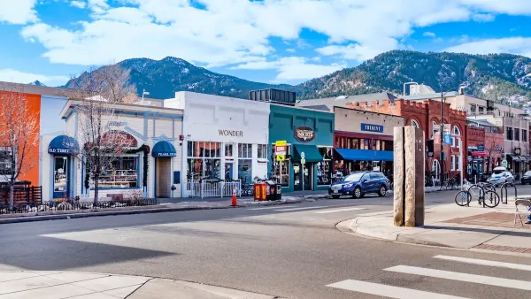
Boulder Eliminates Parking Minimums Citywide
Officials estimate the cost of building a single underground parking space at up to $100,000.

Maui's Vacation Rental Debate Turns Ugly
Verbal attacks, misinformation campaigns and fistfights plague a high-stakes debate to convert thousands of vacation rentals into long-term housing.

Planetizen Federal Action Tracker
A weekly monitor of how Trump’s orders and actions are impacting planners and planning in America.

Chicago’s Ghost Rails
Just beneath the surface of the modern city lie the remnants of its expansive early 20th-century streetcar system.

Bend, Oregon Zoning Reforms Prioritize Small-Scale Housing
The city altered its zoning code to allow multi-family housing and eliminated parking mandates citywide.

Amtrak Cutting Jobs, Funding to High-Speed Rail
The agency plans to cut 10 percent of its workforce and has confirmed it will not fund new high-speed rail projects.

LA Denies Basic Services to Unhoused Residents
The city has repeatedly failed to respond to requests for trash pickup at encampment sites, and eliminated a program that provided mobile showers and toilets.
Urban Design for Planners 1: Software Tools
This six-course series explores essential urban design concepts using open source software and equips planners with the tools they need to participate fully in the urban design process.
Planning for Universal Design
Learn the tools for implementing Universal Design in planning regulations.
planning NEXT
Appalachian Highlands Housing Partners
Mpact (founded as Rail~Volution)
City of Camden Redevelopment Agency
City of Astoria
City of Portland
City of Laramie