


Planners in Houston are working on street configurations in large swaths of the city. The plans reflect Mayor Annise Parker's recent executive order to embrace complete streets as well as a growing demand among residents for walkable, safe streets.
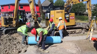
Dug Begley reports on an effort in Houston to send much of the city on a road diet. "…in a departure from what many consider the Houston model, the city is calling for reducing the space for cars and trucks. Plans for Dunlavy, along with a handful of other street segments between River Oaks, downtown and U.S. 59 and along the Washington Avenue corridor, will decrease driving room in favor of retaining trees and making parking, bicycling and walking easier."
"Most of the 2014 changes proposed are inside Loop 610, though a handful would create better connections to industrial areas in the eastern part of the city. Various changes are proposed in newly developed areas on the city's fringes as well."
The amendments to the city's transportation plan would appear in the 2014 major thoroughfare and freeway plan, according to Begley. The City Council is expected to vote on the proposed changes by September.
"What's significant, officials said, is the decision to reduce driving lanes in some spots. The traditional Houston method of improving a four-lane road - turning it into a five- or six-lane road - is falling out of favor in many neighborhoods, with residents reluctant to lose more private land to roads."
The article also includes a video of Houston Transportation Planning Group head Amar Mohite making the case for such changes.
FULL STORY: Street plans call for doing more with less driving room


Houston Residents Respond to Mobility Questions
What could the city look like if budget and bureaucracy were no object?

Houston Developers Question Mayor’s Stance on Pedestrian Projects
The new mayor’s reversal of road safety projects, some already underway or completed, is raising eyebrows among developers who say residents want walkable, mixed-use streets.
Houston Road Safety Project at Risk
Mayor Whitmire reversed his support for a planned road safety project that includes lane reductions, putting $40 million in federal funding in jeopardy.

Maui's Vacation Rental Debate Turns Ugly
Verbal attacks, misinformation campaigns and fistfights plague a high-stakes debate to convert thousands of vacation rentals into long-term housing.

Planetizen Federal Action Tracker
A weekly monitor of how Trump’s orders and actions are impacting planners and planning in America.

San Francisco Suspends Traffic Calming Amidst Record Deaths
Citing “a challenging fiscal landscape,” the city will cease the program on the heels of 42 traffic deaths, including 24 pedestrians.

Defunct Pittsburgh Power Plant to Become Residential Tower
A decommissioned steam heat plant will be redeveloped into almost 100 affordable housing units.

Trump Prompts Restructuring of Transportation Research Board in “Unprecedented Overreach”
The TRB has eliminated more than half of its committees including those focused on climate, equity, and cities.

Amtrak Rolls Out New Orleans to Alabama “Mardi Gras” Train
The new service will operate morning and evening departures between Mobile and New Orleans.
Urban Design for Planners 1: Software Tools
This six-course series explores essential urban design concepts using open source software and equips planners with the tools they need to participate fully in the urban design process.
Planning for Universal Design
Learn the tools for implementing Universal Design in planning regulations.
Heyer Gruel & Associates PA
JM Goldson LLC
Custer County Colorado
City of Camden Redevelopment Agency
City of Astoria
Transportation Research & Education Center (TREC) at Portland State University
Jefferson Parish Government
Camden Redevelopment Agency
City of Claremont