


Some call it a city of neighborhoods. This piece from the San Francisco Chronicle looks at the history of the urban form of San Francisco and why it looks the way it does today.
By official count there are either 40 or 48 neighborhoods in San Francisco, depending on who you ask. Unofficially, there are many more, and there always have been.
"The pioneers always had big plans for San Francisco - but it turned out to be a city of neighborhoods built around a downtown core. There were four reasons for this: geography, changing housing patterns, transit lines and disasters like the 1906 earthquake and fire.
San Francisco was laid out in a grid pattern imposed on a city of hills built on the end of a peninsula. This meant the city had a small area, but the grid pattern of the streets and the hills meant portions of the city were divided from each other, in separate little valleys."
FULL STORY: Growth of city neighborhoods

Airbnb Draws Tourists Off the Beaten Path
Airbnb connects travelers from around the world to unique rentable spaces. With the recent launch of a "Neighborhoods" feature, Airbnb has the potential to redirect tourist spending to often overlooked areas.
Burning Man Does Good At Home
Burning Man -- the annual arts festival and self-reliance experiment -- is more than a party in the desert. Its organizers are starting a new effort to revitalize the neighborhood around their San Francisco office.
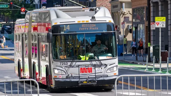
How to Fund SF’s Muni Without Cutting Service
Three solutions for bridging the San Francisco transit agency’s budget gap without reducing service for transit-dependent riders.

Planetizen Federal Action Tracker
A weekly monitor of how Trump’s orders and actions are impacting planners and planning in America.

Map: Where Senate Republicans Want to Sell Your Public Lands
For public land advocates, the Senate Republicans’ proposal to sell millions of acres of public land in the West is “the biggest fight of their careers.”

Restaurant Patios Were a Pandemic Win — Why Were They so Hard to Keep?
Social distancing requirements and changes in travel patterns prompted cities to pilot new uses for street and sidewalk space. Then it got complicated.

Platform Pilsner: Vancouver Transit Agency Releases... a Beer?
TransLink will receive a portion of every sale of the four-pack.

Toronto Weighs Cheaper Transit, Parking Hikes for Major Events
Special event rates would take effect during large festivals, sports games and concerts to ‘discourage driving, manage congestion and free up space for transit.”

Berlin to Consider Car-Free Zone Larger Than Manhattan
The area bound by the 22-mile Ringbahn would still allow 12 uses of a private automobile per year per person, and several other exemptions.
Urban Design for Planners 1: Software Tools
This six-course series explores essential urban design concepts using open source software and equips planners with the tools they need to participate fully in the urban design process.
Planning for Universal Design
Learn the tools for implementing Universal Design in planning regulations.
Heyer Gruel & Associates PA
JM Goldson LLC
Custer County Colorado
City of Camden Redevelopment Agency
City of Astoria
Transportation Research & Education Center (TREC) at Portland State University
Camden Redevelopment Agency
City of Claremont
Municipality of Princeton (NJ)