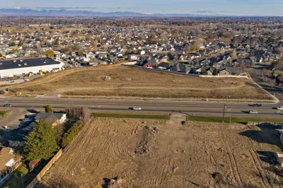
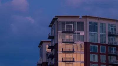
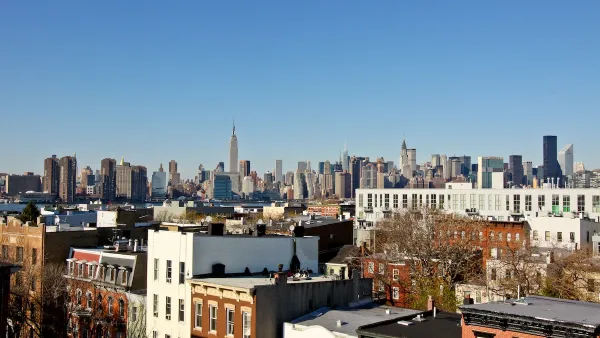
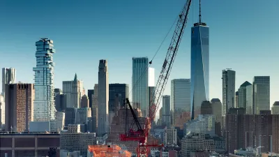
A comprehensive update of the city’s zoning code aimed at making housing more affordable and promoting sustainable growth received unanimous support from the city council.

“After three days of public testimony and more than four years of work, the Boise City Council unanimously approved its new zoning code,” reports Margaret Carmel in Boise Dev, marking the first update to the city’s 60-year-old zoning code.
The code change increases density allowed along major transit corridors and in neighborhoods, as long as a project is affordably priced or has sustainability components, and cuts parking requirements and much more.
Among the hottest topics discussed were the length of deed restrictions for affordable housing, which was cut from 50 years to 20, and accessory dwelling units (ADUs). “Requirements for when neighbors are notified about projects was another hot topic during public testimony. One of the changes to the code draft staff suggested allows immediate neighbors to be notified after certain types of projects – known as Type 2 – are approved.”
The rewrite also scales up bike parking requirements, permits large trees in some landscape buffers, allows daycares in any mixed-use zone, and lets businesses apply for a variance to reduce parking.
See the source article for a more complete list of changes in the zoning code, which will go into effect on December 1, 2023.
FULL STORY: Boise’s future: Council unanimously adopts zoning code revamp, with changes: ‘a home… is fundamental’

Planetizen Federal Action Tracker
A weekly monitor of how Trump’s orders and actions are impacting planners and planning in America.

Congressman Proposes Bill to Rename DC Metro “Trump Train”
The Make Autorail Great Again Act would withhold federal funding to the system until the Washington Metropolitan Area Transit Authority (WMATA), rebrands as the Washington Metropolitan Authority for Greater Access (WMAGA).

DARTSpace Platform Streamlines Dallas TOD Application Process
The Dallas transit agency hopes a shorter permitting timeline will boost transit-oriented development around rail stations.

San Francisco's School District Spent $105M To Build Affordable Housing for Teachers — And That's Just the Beginning
SFUSD joins a growing list of school districts using their land holdings to address housing affordability challenges faced by their own employees.

Car-Centric LA Suburb Looks to a Train-Oriented Future
City leaders in Rancho Cucamonga, the future western terminus of the Brightline West rail line to Las Vegas, want to reimagine the city as a transit-oriented, pedestrian-friendly community.

New Alaska Bitcoin Mine Would Burn as Much Energy as the State’s Largest Coal Plant
Fueled by “stranded” natural gas, the startup hopes to become the largest in the US, and to make Alaska an industry center.
Urban Design for Planners 1: Software Tools
This six-course series explores essential urban design concepts using open source software and equips planners with the tools they need to participate fully in the urban design process.
Planning for Universal Design
Learn the tools for implementing Universal Design in planning regulations.
Municipality of Princeton
Roanoke Valley-Alleghany Regional Commission
City of Mt Shasta
City of Camden Redevelopment Agency
City of Astoria
Transportation Research & Education Center (TREC) at Portland State University
US High Speed Rail Association
City of Camden Redevelopment Agency
Municipality of Princeton (NJ)


