


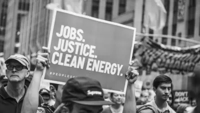
The Biden administration's efforts to curb the tendency of highway expansions to cut into Black communities will be tested by the West I-526 Lowcountry Corridor plan in North Charleston, South Carolina.
The West I-526 Lowcountry Corridor is moving forward with plans to expand the roadway in South Carolina, seizing property in surrounding Black communities along the way.
"South Carolina is proposing to sweep aside dozens of homes, and potentially hundreds of people, to widen a freeway interchange choked with traffic in this booming coastal region," report Darryl Fears and John Muyskens. "The $3 billion project is expected to begin about two years after the plan becomes final."
Fears and Muyskens note that the West I-526 Lowcountry Corridor is moving forward despite vows by President Joe Biden and Transportation Secretary Pete Buttigieg to undo the racist legacy of U.S. transportation infrastructure.
The West I-526 Lowcountry Corridor plan won't be the final highway expansion pursued at the expense of existing Black communities either.
If Charleston County has its way, the roadbuilding and housing destruction would not stop in North Charleston. In late August, officials unveiled a separate, $720 million plan for an expressway to begin near the expanded beltway and extend south to rural Johns Island and suburban James Island. Both places contain historic African American enclaves, where formerly enslaved people spread out from a nearby plantation in the 1870s.
The feature article includes interactive maps and graphics, as well as additional details about the history, politics, and consequences of transportation planning in the state and region.
FULL STORY: Black people are about to be swept aside for a South Carolina freeway — again

Mapping Environmental Justice to Census Tracts
The Climate and Economic Justice Screening Tool, version 1.0, is now available on the internet.
The Shifting Demographics of Covid-19
For most of the Covid-19 pandemic, Black Americans died at much higher rates than White Americans. That trend has reversed at times during the past year.

Biden’s Environmental Legacy (So Far)
President Biden campaigned on promises to restore many of the environmental regulations rolled back by the previous administration, while promising new efforts to tackle environmental injustice and climate change.

Planetizen Federal Action Tracker
A weekly monitor of how Trump’s orders and actions are impacting planners and planning in America.

Congressman Proposes Bill to Rename DC Metro “Trump Train”
The Make Autorail Great Again Act would withhold federal funding to the system until the Washington Metropolitan Area Transit Authority (WMATA), rebrands as the Washington Metropolitan Authority for Greater Access (WMAGA).

DARTSpace Platform Streamlines Dallas TOD Application Process
The Dallas transit agency hopes a shorter permitting timeline will boost transit-oriented development around rail stations.

Renters Now Outnumber Homeowners in Over 200 US Suburbs
High housing costs in city centers and the new-found flexibility offered by remote work are pushing more renters to suburban areas.

The Tiny, Adorable $7,000 Car Turning Japan Onto EVs
The single seat Mibot charges from a regular plug as quickly as an iPad, and is about half the price of an average EV.

Supreme Court Ruling in Pipeline Case Guts Federal Environmental Law
The decision limits the scope of a federal law that mandates extensive environmental impact reviews of energy, infrastructure, and transportation projects.
Urban Design for Planners 1: Software Tools
This six-course series explores essential urban design concepts using open source software and equips planners with the tools they need to participate fully in the urban design process.
Planning for Universal Design
Learn the tools for implementing Universal Design in planning regulations.
Municipality of Princeton
Roanoke Valley-Alleghany Regional Commission
City of Mt Shasta
City of Camden Redevelopment Agency
City of Astoria
Transportation Research & Education Center (TREC) at Portland State University
US High Speed Rail Association
City of Camden Redevelopment Agency
Municipality of Princeton (NJ)