New research shows a 24% increase in people living in flood-prone areas since 2000, prompting calls for increased adaptation measures.


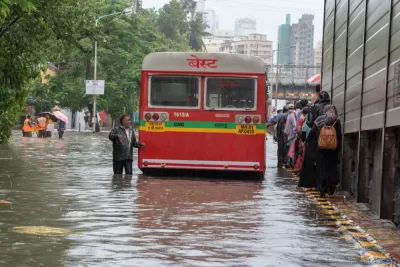
As urban centers around the world grow, sea levels rise, and extreme weather becomes more common, "the proportion of the world’s population living in flood zones has increased exponentially," writes Linda Poon. According to new research published in the journal Nature, "[f]rom 2000 to 2015, the number of people living in flood-prone areas increased by an estimated 58 million to 86 million," a 24% increase.
"The study uses a trove of satellite imagery to map 913 major flood events since 2000, which the flood monitoring startup Cloud to Street says offers planners a more detailed scope than flood projection models of the crisis facing cities." The resulting maps "combine flooding imagery with global human settlement data to show population growth in flooded areas, which the researchers attribute to increased economic development and migration to flood zones."
"Nearly 90% of the floods analyzed occurred in South and Southeast Asia, with high flood exposure in areas that have large river basins and that saw large population growth, like Dhaka and Bangladesh. In 32 countries across four continents, the population exposed to flood is increasing at a rate higher than total population growth, with India and some countries in Africa experiencing particularly large increases in flood exposure."
Flooding also poses a risk to basic infrastructure. "From the recent flooding of New York City’s nearly 120-year-old subway to Zhengzhou’s metro system in China’s Henan province, much of the urban infrastructure built decades ago is not designed to handle the kind of historic rainfall that cities often see today."
The researchers are making the database public "to help policymakers improve the accuracy of global flood risk models, which can be rife with uncertainties," and "improve the quality of vulnerability assessments, which in turn can increase the efficacy of climate adaptation measures."
Read the full story: More People Live in Flood Zones Than Previously Thought

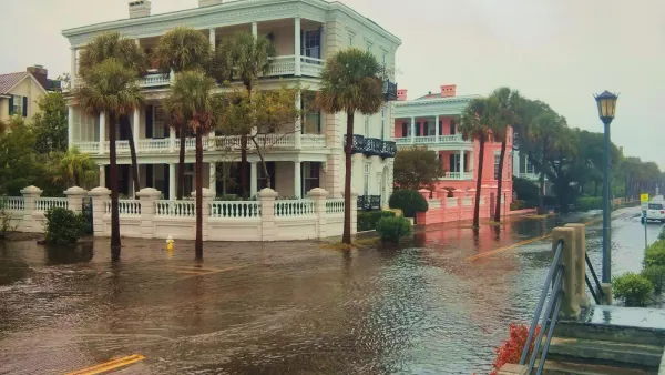
As Development in Flood-Prone Areas Continues, Cities Are Slow to Respond
Drawn by affordable property, low taxes, and job opportunities, high numbers of Americans continue to move to flood-prone areas even as the threat of catastrophic flooding grows.
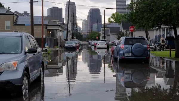
Study: New Orleans sea level rise is at 'point of no return'
Research shows that the city could be surrounded by water by the end of this century.
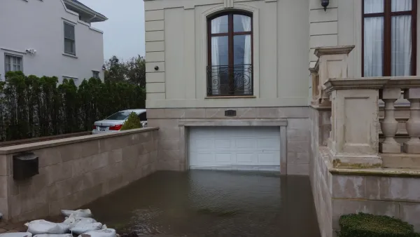
Over 500 NYC ‘Blue Zones’ at Risk of More Destructive Floods
High-risk flood zones cover roughly 20% of the city’s land.

Planetizen Federal Action Tracker
A weekly monitor of how Trump’s orders and actions are impacting planners and planning in America.

The state-sanctioned urbicide of Austin
People don’t kill cities. Freeways do.
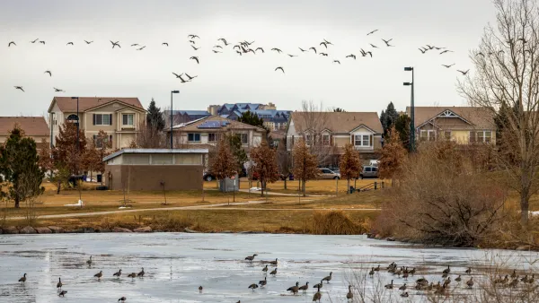
Colorado’s Largest Data Center Could Rise Next to Homes — Without a Public Hearing
The proposed campus would consume 11 times the power of Denver International Airport; as it has across the country, opposition mounts.

Nation's most wind-powered state turns to coal as data centers increase energy demand
For the first time in decades, Iowa has increased its generation of coal power.

NYC cools commuters with city's first rain garden above a bus stop
New York City officials say the plants in the rain garden can absorb 16 gallons of rainwater during heavy storms.

Brightline West’s future may rely on $6 billion federal loan
The company has until Nov. 2 to make a $400 million equity investment into its proposed high-speed rail line.

FREE Course: Walkable City 1: Why Walkability?
After describing his path towards focusing on walkability as the essence of good planning, Jeff Speck marches through his five principal reasons for making more walkable places.
Reinventing Malls: Planning Alchemy—Turning Gray Fields Into Gold
The course focuses on the opportunities and imperatives that shape reinvention of mall sites.

Greater Baltimore Committee
Eagle County Government
Harvard University Graduate School of Design
The Architects Foundation
University of Cincinnati Online
The Pocatello Development Authority
The Urban Renewal Agency of the City of Pocatello
Journal of the American Planning Association