Millions of renters are at risk of eviction as federal support runs out and the economic realities of the pandemic take hold.



Adele Peters shares news of a mapping project by Urban Footprint, a tech company that makes urban planning software tools, to map out "which communities are likely to be most affected, based on unemployment claims, the cost of housing, and existing social vulnerability."
Given the rent burdens facing Americans before the outbreak of the pandemic and the resulting economic downturn, the eviction risk map spreads widely. "States with expensive housing and high income inequality are especially at risk. California, New York, Florida, Georgia, and Texas top the list," explains Peters.
But that does not mean renters in other parts of the country aren't facing high levels of uncertainty. In Louisiana, for example, "35,000 households in the state were most vulnerable because of the cost of rent, job loss, and underlying factors like the number of households led by a single parent."
In all, "the organization estimates that between 3.4 million and 6.7 million renter households are both rent-burdened and jobless."
While the threat of mass evictions and homelessness has been looming since the beginning of the pandemic, recent reports indicate that for many, the threat is already reality.
Read the full story: This map shows where Americans are most at risk of eviction

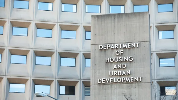
HUD Won't Help With Back Rent Until Eviction Moratoriums Are Gone
Eviction prevention was an eligible use for CARES Act money...until HUD decided that it's not worth preventing evictions until they are under 14 days away.
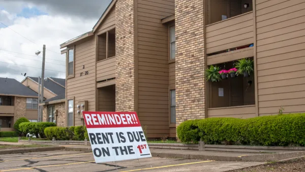
Renters Living in Small Buildings Face the Steepest Economic Risks in the Pandemic
Renters in smaller multi-family buildings and single-family homes are faced with larger economic challenges during the pandemic, according to new analysis by researchers at the Joint Center for Housing Studies of Harvard University.
Overdue Rent Could Equal $34 Billion by January 2021
As Americans deal with job losses and ongoing unemployment, rent bills are piling up and a wave of evictions looms on the horizon.

Planetizen Federal Action Tracker
A weekly monitor of how Trump’s orders and actions are impacting planners and planning in America.

Amtrak, CN end decades-long dispute with eight-year agreement
The new operating agreement establishes an updated framework for the companies to work together, including processes to resolve disputes.

Judges permit Denver to divert 77,000 acre feet from the Colorado River for reservoir expansion
Overuse and climate change have caused the Colorado River’s water levels to plummet.

Idaho may see an 18% drop in federal surface transit funding — the largest estimated cut in the US
Transit systems in rural communities are much more reliant on federal funding to provide their services.

How ‘post-disaster gentrification’ alters neighborhoods after natural calamities
After hurricanes, fires or other calamities, the original residents of a community are often replaced by younger, wealthier residents.

Maryland local governments examine if they should have more power to raise property taxes
Maryland’s housing market is out of reach for the majority of moderate-income residents.

FREE Course: Walkable City 1: Why Walkability?
After describing his path towards focusing on walkability as the essence of good planning, Jeff Speck marches through his five principal reasons for making more walkable places.
Reinventing Malls: Planning Alchemy—Turning Gray Fields Into Gold
The course focuses on the opportunities and imperatives that shape reinvention of mall sites.

Harvard University Graduate School of Design
KFH Group Inc.
Greater Baltimore Committee
The Architects Foundation
University of Cincinnati Online
The Pocatello Development Authority
The Urban Renewal Agency of the City of Pocatello