


In a planning area encompassing Hamilton, Hendricks, Boone, Johnson, Morgan, Shelby and Hancock counties in Indiana, streets with no sidewalks outnumber streets with sidewalks by more than two to one.
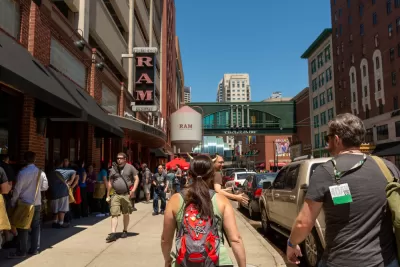
Kellie Hwang reports from Central Indiana, where a recently released a pedestrian infrastructure map in connection with an ongoing Regional Pedestrian Plan [pdf] effort lays out the pedestrian risk in and around the city of Indianapolis.
"On this map of Central Indiana, there's a collection of bright green lines in the center, with more scattered throughout. The rest of the map is a glaring web of bold, red angled lines protruding out of the Indianapolis metro area," reports Hwang.
Green indicates streets with existing sidewalks and other pedestrian infrastructure. Those kinds of streets total 1,704 miles in the region. "The red lines show 3,748 miles worth of gaps where pedestrian facilities don't exist, either on one side or both sides of the road," according to Hwang.
The Indianapolis Metropolitan Planning Organization published the map after a year and a half of into the Regional Pedestrian Plan, which updates the original version of the plan, completed in 2006.
FULL STORY: This map reveals a lack of pedestrian-safe infrastructure in Central Indiana

Making it Safer to Walk to Transit in Portland
TriMet, the regional transit agency in the Portland, Oregon area, this week launched a process for creating a new Pedestrian Plan.

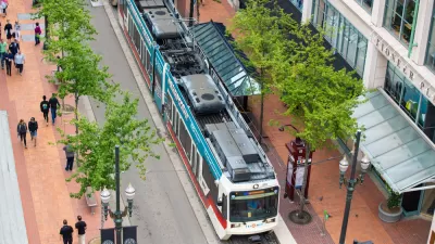
Indianapolis Advances Plans to Expand and Connect Citywide Greenway Network
Indianapolis is developing a new Greenways Strategic Implementation Plan to expand, connect, and modernize its trail system, aiming for over 250 miles of greenways that support sustainability, mobility, and community well-being.

New Indianapolis Bridge Prioritizes Walking, Biking
Over half the surface of the Fall Creek Bridge is devoted to walking and biking paths.

Maui's Vacation Rental Debate Turns Ugly
Verbal attacks, misinformation campaigns and fistfights plague a high-stakes debate to convert thousands of vacation rentals into long-term housing.

Planetizen Federal Action Tracker
A weekly monitor of how Trump’s orders and actions are impacting planners and planning in America.

San Francisco Suspends Traffic Calming Amidst Record Deaths
Citing “a challenging fiscal landscape,” the city will cease the program on the heels of 42 traffic deaths, including 24 pedestrians.

Defunct Pittsburgh Power Plant to Become Residential Tower
A decommissioned steam heat plant will be redeveloped into almost 100 affordable housing units.

Trump Prompts Restructuring of Transportation Research Board in “Unprecedented Overreach”
The TRB has eliminated more than half of its committees including those focused on climate, equity, and cities.

Amtrak Rolls Out New Orleans to Alabama “Mardi Gras” Train
The new service will operate morning and evening departures between Mobile and New Orleans.
Urban Design for Planners 1: Software Tools
This six-course series explores essential urban design concepts using open source software and equips planners with the tools they need to participate fully in the urban design process.
Planning for Universal Design
Learn the tools for implementing Universal Design in planning regulations.
Heyer Gruel & Associates PA
JM Goldson LLC
Custer County Colorado
City of Camden Redevelopment Agency
City of Astoria
Transportation Research & Education Center (TREC) at Portland State University
Jefferson Parish Government
Camden Redevelopment Agency
City of Claremont