Conservationists got a little help from some perhaps surprising sources in winning a designation for the Mokelumne River as the latest Wild and Scenic River in California.


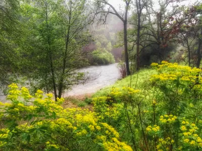
Steve Evans reports on the culmination of years of work that has resulted in the newest designation of a Wild and Scenic River in California.
The natural resources budget bill signed by Governor Jerry Brown in the last week of June also designated the Mokelumne River as a Wild and Scenic River.
The designation protects 37 miles of the river from Salt Springs Dam to a point just upstream of Highway 49. "California Wild and Scenic Rivers are protected against destructive dams and diversion projects and state agencies are required to protect the rivers’ free-flowing character and extraordinary scenic, recreation, fish and wildlife values," explains Evans. A study complete earlier this year enabled the designation, finding the river to be "free-flowing and to possess extraordinary scenic and recreation values."
The designation is the result of work by the Friends of the River, the Foothill Conservancy, Amador and Calaveras counties, East Bay Municipal Utility District (EBMUD), and the California Natural Resources Agency.
Read the full story: Why California’s New Wild and Scenic River Is a Big Deal

Bill Would Double Protections for Montana Rivers
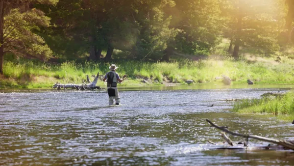
The Montana Headwaters Legacy Act would double the number of wild and scenic rivers in the state of Montana.
A Path for California to Get to Zero Carbon...And Below
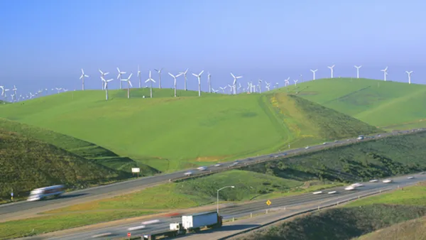
A new study from Lawrence Livermore National Laboratory evaluates strategies to achieve former Gov. Jerry Brown's goal of carbon neutrality by 2045. Unlike other reports that study emission reductions, it evaluates "negative emissions" strategies.
Can Hydrogen Make a Comeback?
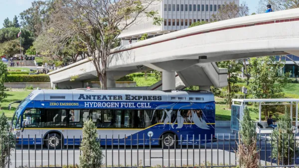
While hydrogen fuel cell electric vehicles are much less popular than their battery-powered siblings, California remains committed to the zero-emission technology, with three state agencies investing in and monitoring its progress.

Planetizen Federal Action Tracker
A weekly monitor of how Trump’s orders and actions are impacting planners and planning in America.

The state-sanctioned urbicide of Austin
People don’t kill cities. Freeways do.

US to reduce Colorado River water deliveries to Mexico
A new Colorado Treaty amendment reduces Mexico’s Colorado River water allocation by 250,000 acre feet.

Nation's most wind-powered state turns to coal as data centers increase energy demand
For the first time in decades, Iowa has increased its generation of coal power.

NYC cools commuters with city's first rain garden above a bus stop
New York City officials say the plants in the rain garden can absorb 16 gallons of rainwater during heavy storms.

Brightline West’s future may rely on $6 billion federal loan
The company has until Nov. 2 to make a $400 million equity investment into its proposed high-speed rail line.

FREE Course: Walkable City 1: Why Walkability?
After describing his path towards focusing on walkability as the essence of good planning, Jeff Speck marches through his five principal reasons for making more walkable places.
Reinventing Malls: Planning Alchemy—Turning Gray Fields Into Gold
The course focuses on the opportunities and imperatives that shape reinvention of mall sites.

Greater Baltimore Committee
Eagle County Government
Harvard University Graduate School of Design
The Architects Foundation
University of Cincinnati Online
The Pocatello Development Authority
The Urban Renewal Agency of the City of Pocatello
Journal of the American Planning Association