


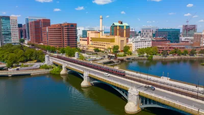
A year-long project that upgraded rail infrastructure and equipment has resulted in faster trips on all rail lines.
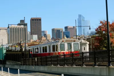
The Massachusetts Bay Transportation Authority’s (MBTA) undertaking to eliminate “slow zones,” known as the Track Improvement Program, has led to an impressive increase in the speed of trips on the Red Line, reports Will Katcher for Mass Transit.
“On the line’s Ashmont branch, the average southbound ride lasts about 40 minutes end-to-end. Rewind to October 2023, and the same trip took nearly half an hour longer.” On the Braintree branch, riders traveling end to end save about 24 minutes a day.
Every line in the system is now traveling faster than in October 2023. “State officials said the repairs collectively save riders 2.4 million minutes every weekday. They estimated the economic benefit to Massachusetts to be nearly $1 million each day.”
In 2025, the agency will be working on replacing aging signal systems and making stations more accessible.
FULL STORY: MA: The MBTA is slow zone free. How much faster are trains running?

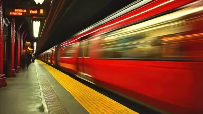
MBTA Red Line Now Free of ‘Slow Zones’
Recent work on the Boston-area rail line is making service on the aging system faster and more reliable.
Lessons from Boston’s Orange Line Shutdown
A month-long shutdown of one of the region’s busiest lines prompted the city to experiment with temporary bus lanes, reoriented streets, and free bikeshare.
MBTA Budget Inadequate for Key Projects
Without additional funding, the agency is ‘barely treading water’ and could be forced to make service cuts in 2026.

Planetizen Federal Action Tracker
A weekly monitor of how Trump’s orders and actions are impacting planners and planning in America.

Map: Where Senate Republicans Want to Sell Your Public Lands
For public land advocates, the Senate Republicans’ proposal to sell millions of acres of public land in the West is “the biggest fight of their careers.”

Restaurant Patios Were a Pandemic Win — Why Were They so Hard to Keep?
Social distancing requirements and changes in travel patterns prompted cities to pilot new uses for street and sidewalk space. Then it got complicated.

Platform Pilsner: Vancouver Transit Agency Releases... a Beer?
TransLink will receive a portion of every sale of the four-pack.

Toronto Weighs Cheaper Transit, Parking Hikes for Major Events
Special event rates would take effect during large festivals, sports games and concerts to ‘discourage driving, manage congestion and free up space for transit.”

Berlin to Consider Car-Free Zone Larger Than Manhattan
The area bound by the 22-mile Ringbahn would still allow 12 uses of a private automobile per year per person, and several other exemptions.
Urban Design for Planners 1: Software Tools
This six-course series explores essential urban design concepts using open source software and equips planners with the tools they need to participate fully in the urban design process.
Planning for Universal Design
Learn the tools for implementing Universal Design in planning regulations.
Heyer Gruel & Associates PA
JM Goldson LLC
Custer County Colorado
City of Camden Redevelopment Agency
City of Astoria
Transportation Research & Education Center (TREC) at Portland State University
Camden Redevelopment Agency
City of Claremont
Municipality of Princeton (NJ)